Sugarland Mountain Trail from Little River Road to the Junction with Huskey Gap Trail in the Great Smoky Mountains National Park

This Hike has been on my radar for a while now. I did the upper part of Sugarland Mountain Trail last year. I still lack the middle section then I will have the entire trail done. That will have to be a through hike with a partner and 2 vehicles. This hike was a good selection for my first solo adventure of the year. The trail head for this hike shares parking on Little River Road with the immensely popular Laurel Falls trail, so one issue I’ve had every other time I have started out with this hike in mind is the lack of available parking.

On this cool January day, January 14, 2021, parking wasn’t as much of an obstacle as it has been before. The parking area, a good sized one, is usually full to overflowing with vehicles lined up and down the sides of the road on either side. This was not the case on this day. I parked in a pull off a little past the main parking area, and I was the only vehicle in the pull off. I got there around 10:30 in the morning after a stop at Sugarland Visitor Center where I re-upped my membership in Friends of the Smokies. The Smokey Mountains has the distinction of being the most visited National Park. It is also one of the few National Parks that does not charge an entrance Fee. Straddling two states the flow of traffic through this beautiful landscape seems to never stop rolling. The Visitor Center under the Covid restrictions limited access and enforced the mask edict. I completed my purchase and paid for my membership renewal as quickly as I could. I am not a fan of the masks. My membership fee along with sales of merchandise and other fund raisers is the primary revenue collected for the park, in the park. I contribute by maintaining my membership in the group and I also have a Friends of the Smokies license plate on my Jeep, the extra I pay for the vanity tag also supports this national treasure.

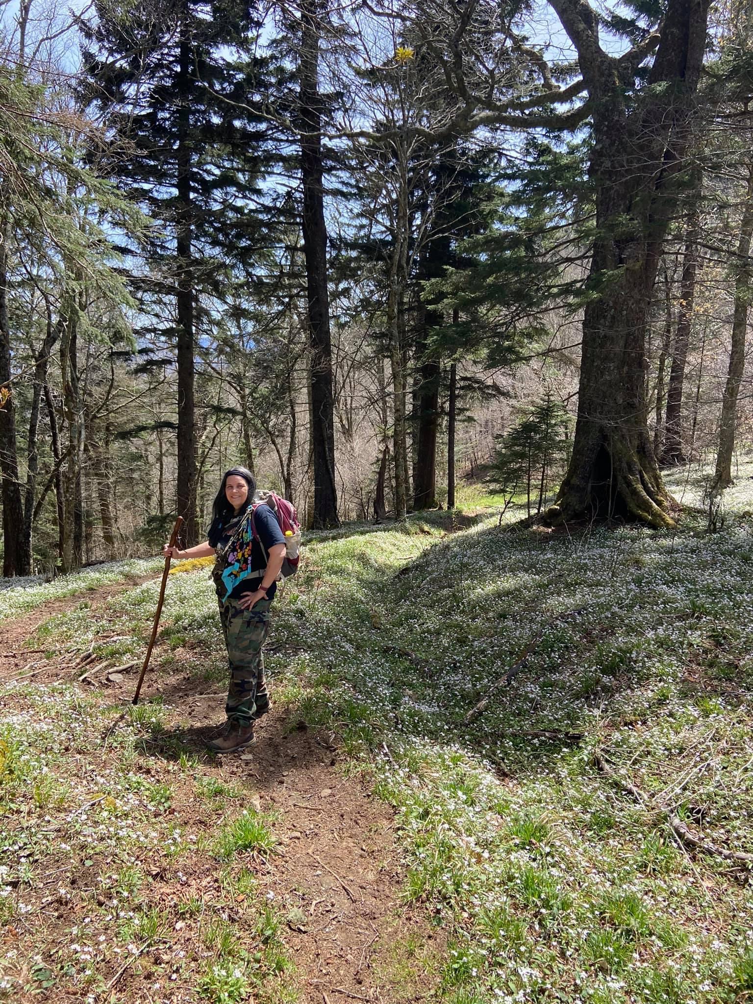
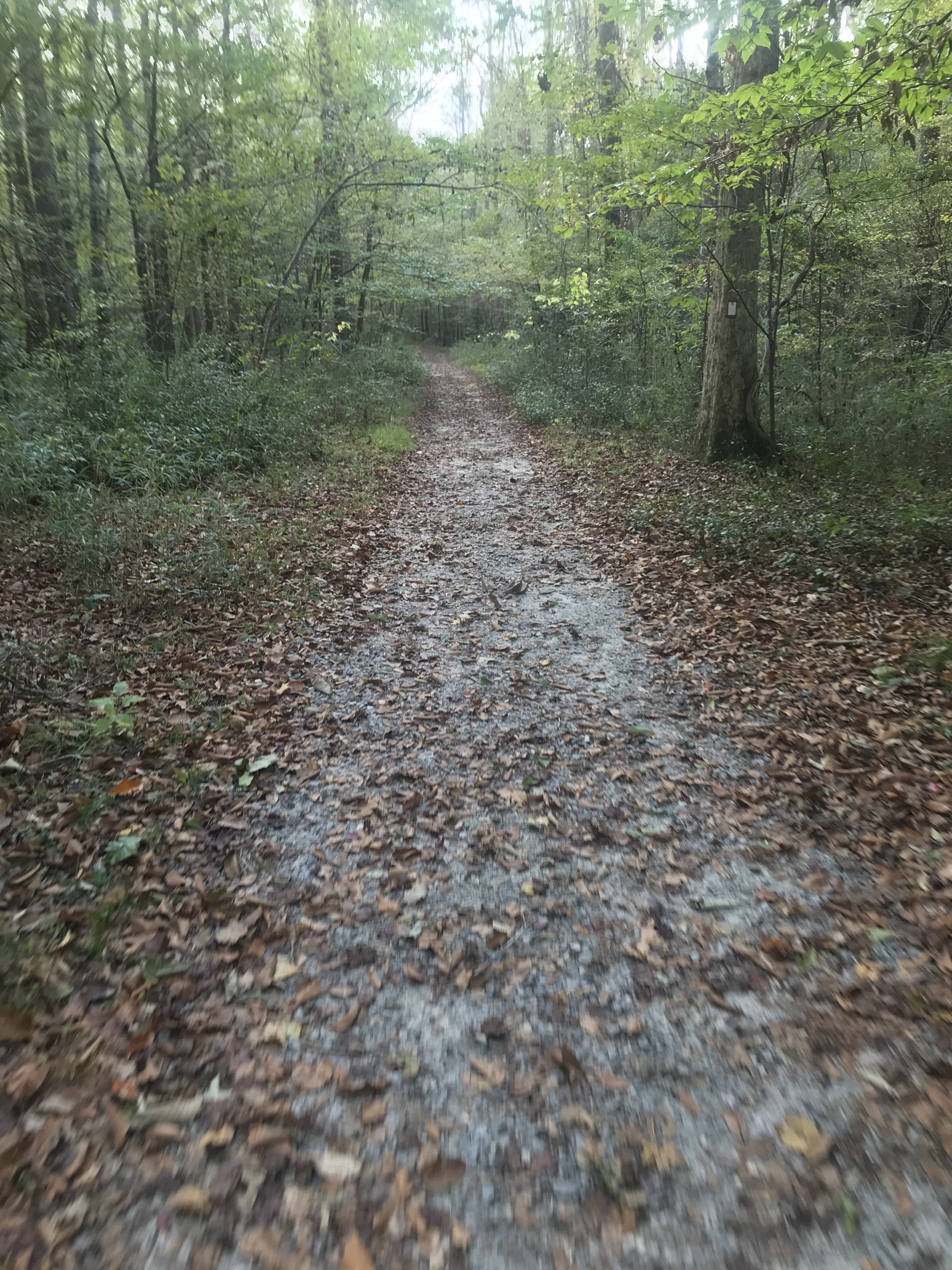
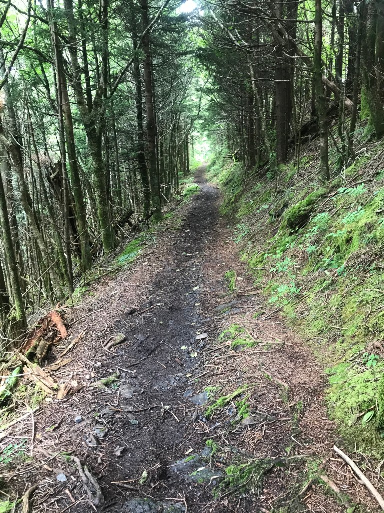
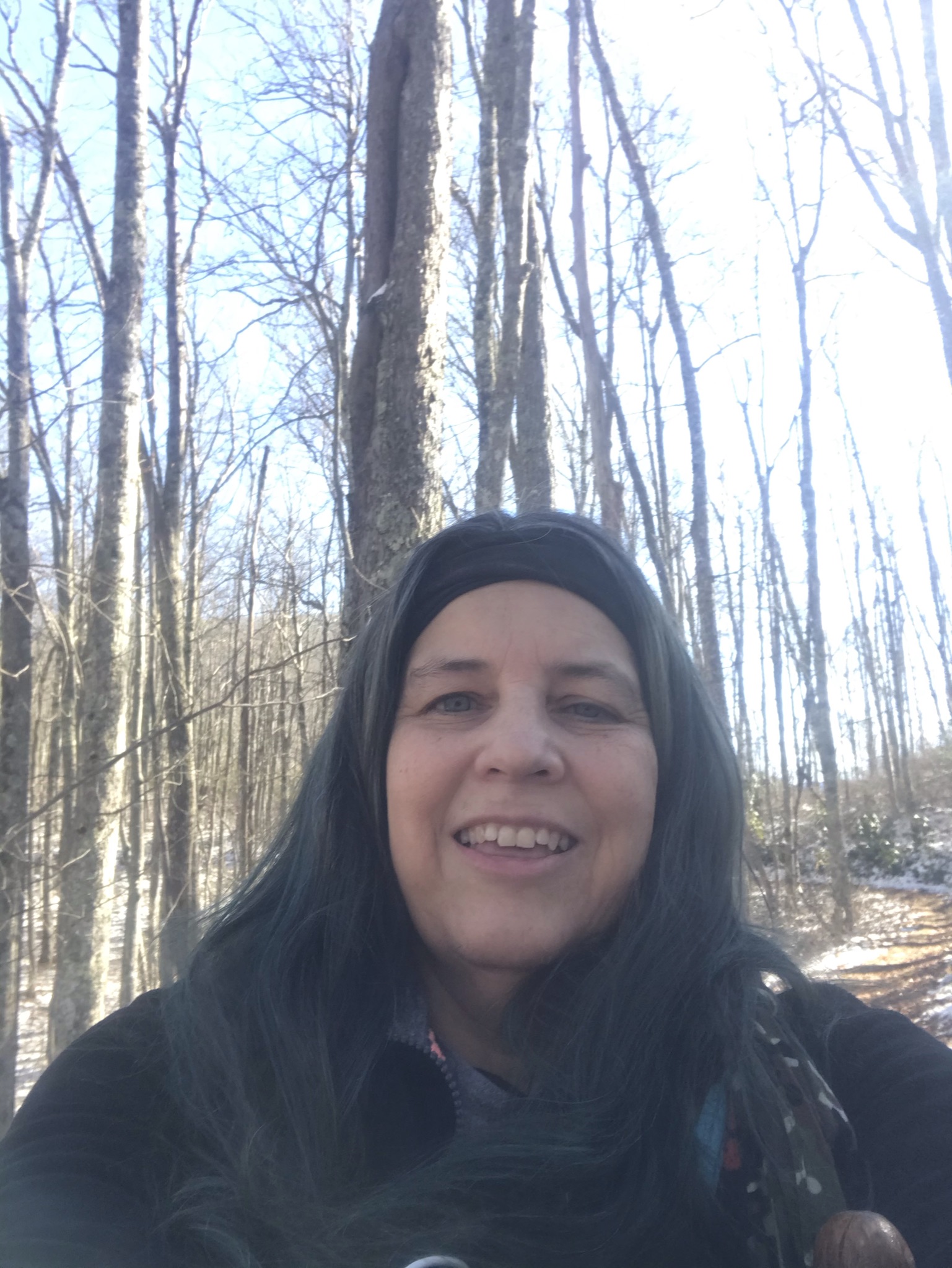
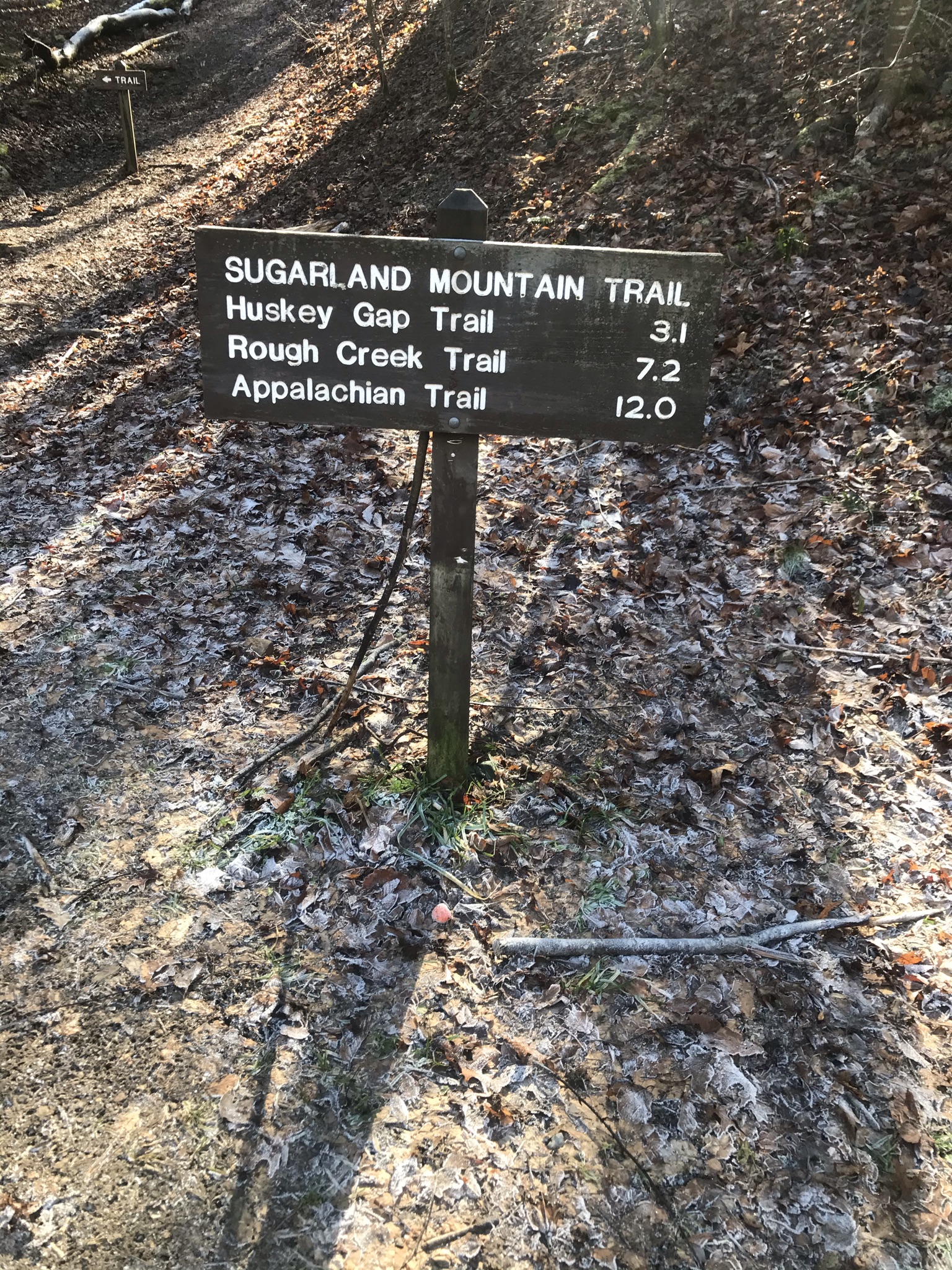
The day was cool, not cold. The sky was a magnificent blue, the air crisp and clean. The smells of these mountains is refreshing and revitalizing. As I shouldered my backpack and retrieved my walking stick, I breathed in the mountain air. I strode up to the trail head. This little hike is a good in and out hike when there is not a lot of time available to spend in the backwoods. In sharp contrast to Laurel Falls Trail, which had its share of foot traffic from the full parking lots, Sugarland Mountain Trail was blissfully empty of crowds. The hike was marked out as 3.1 miles from Little River Road to the Junction with Huskey Gap, so the total trail mileage was 6.2 miles for the day. Being January, a short hike was preferable. I watched people head up towards Laurel Falls across the road from Sugarland Mountain. I only met 2 other hikers throughout my hike.

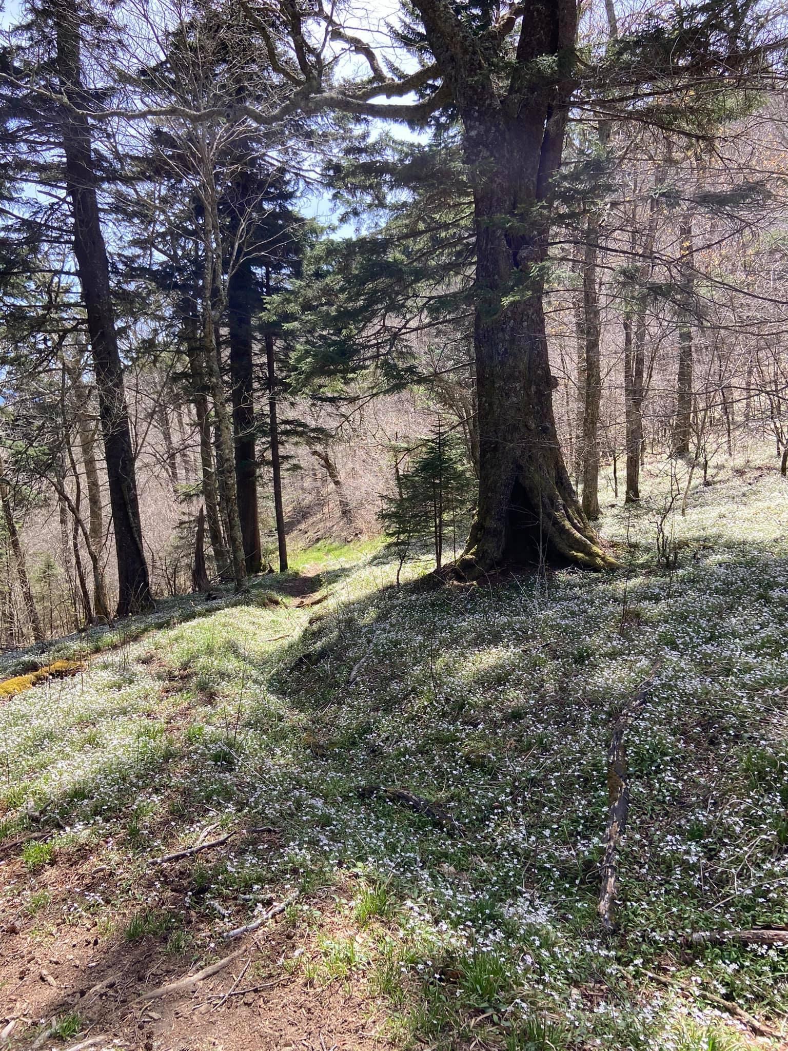
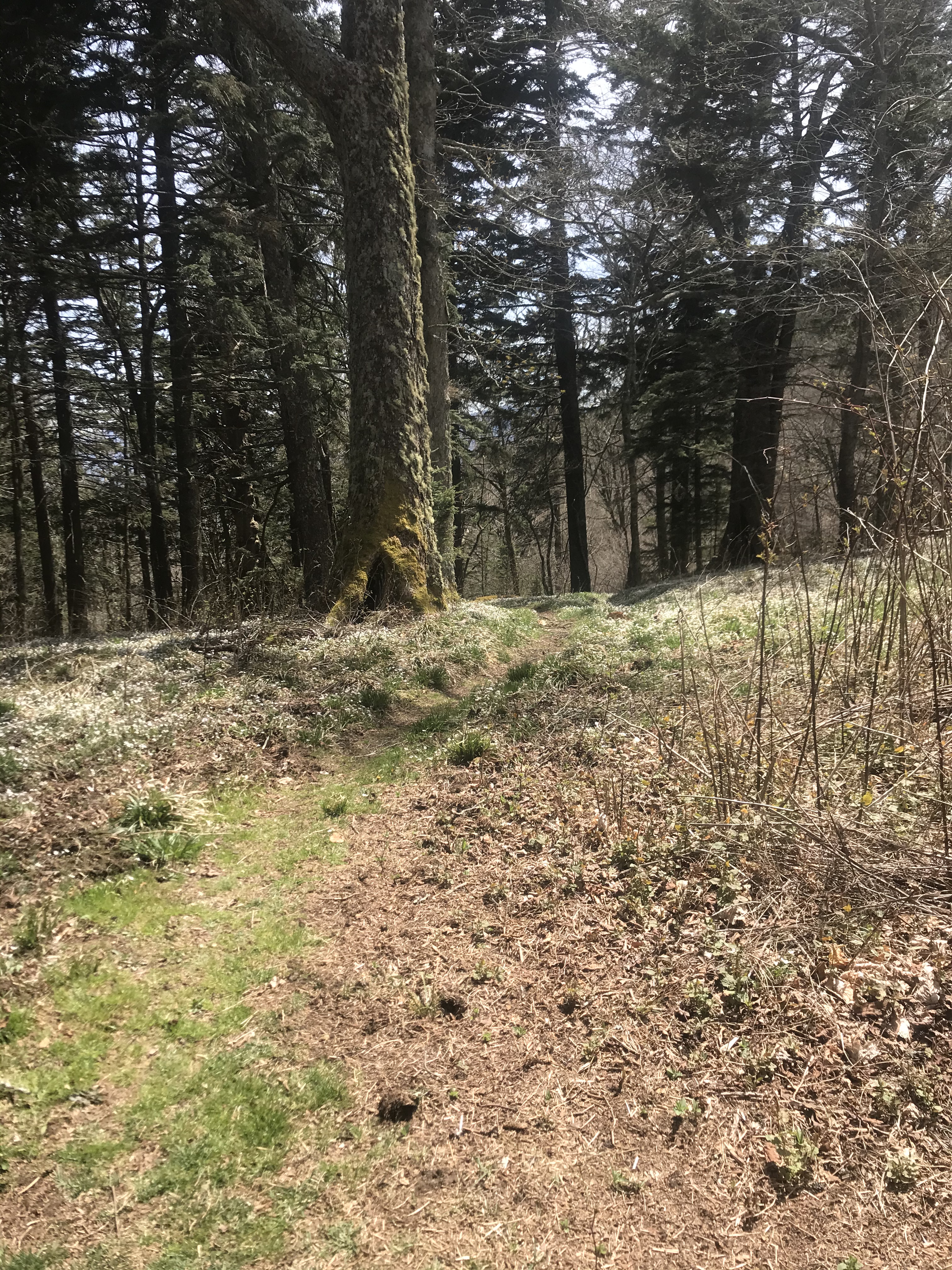
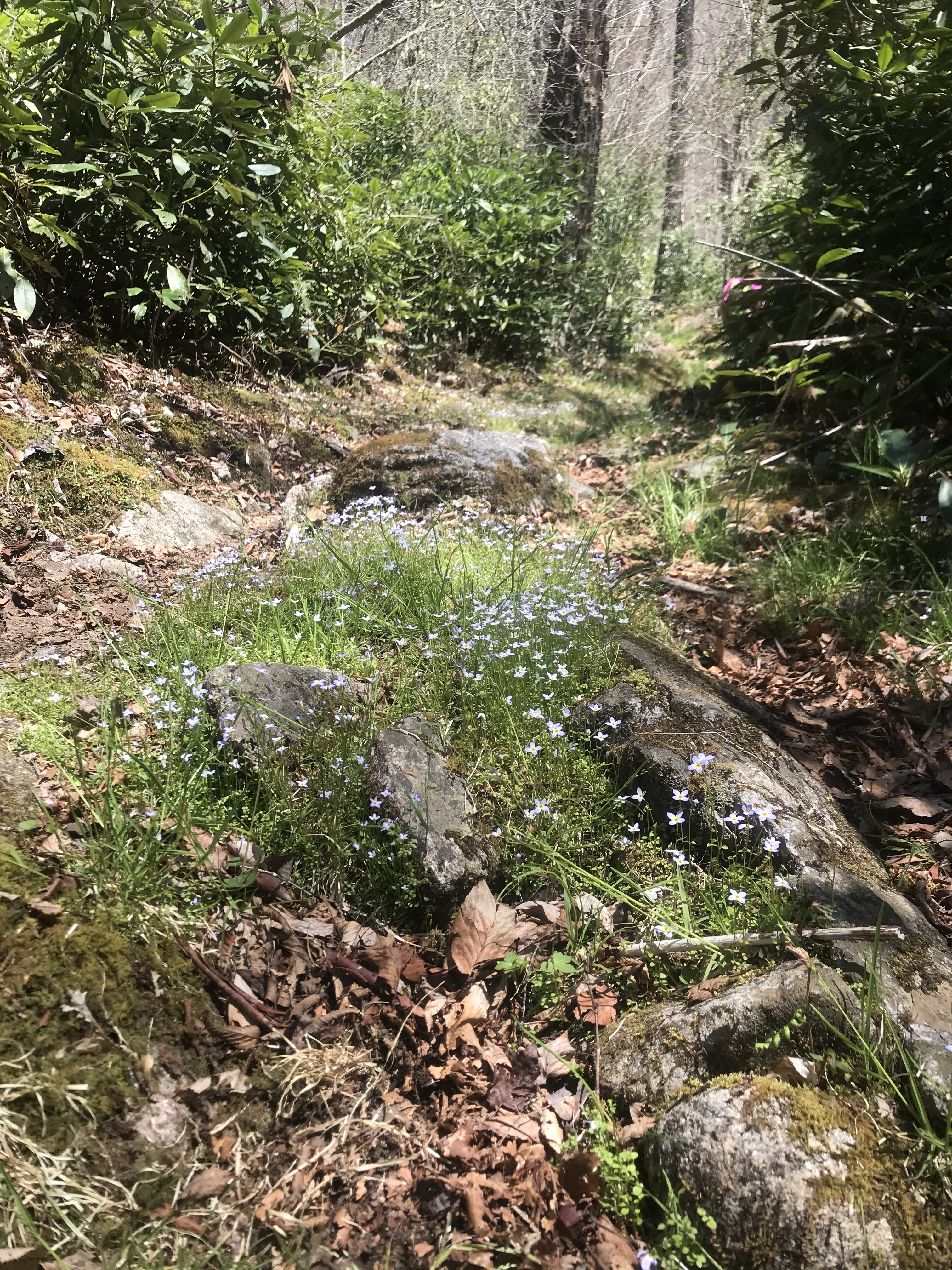
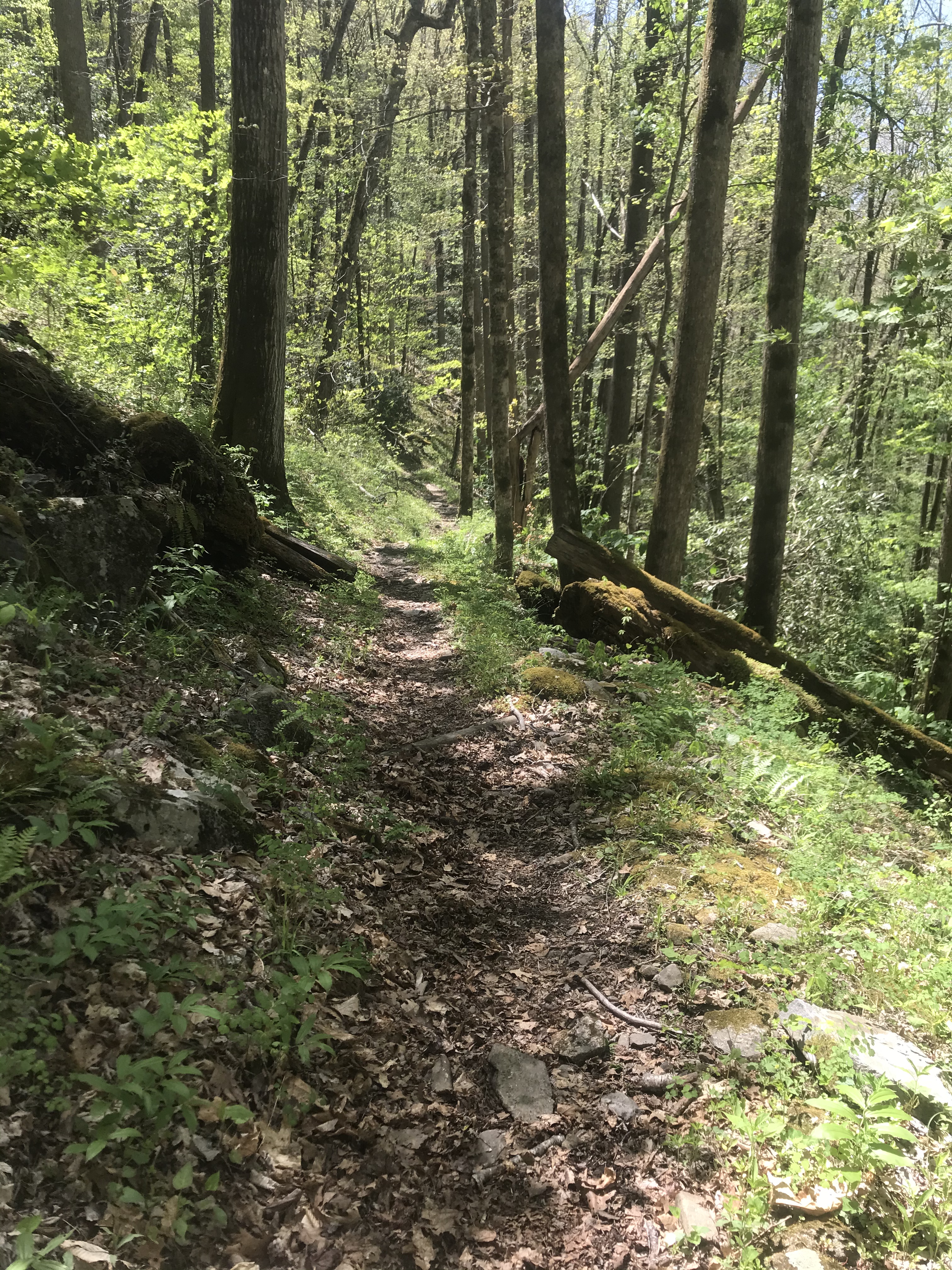
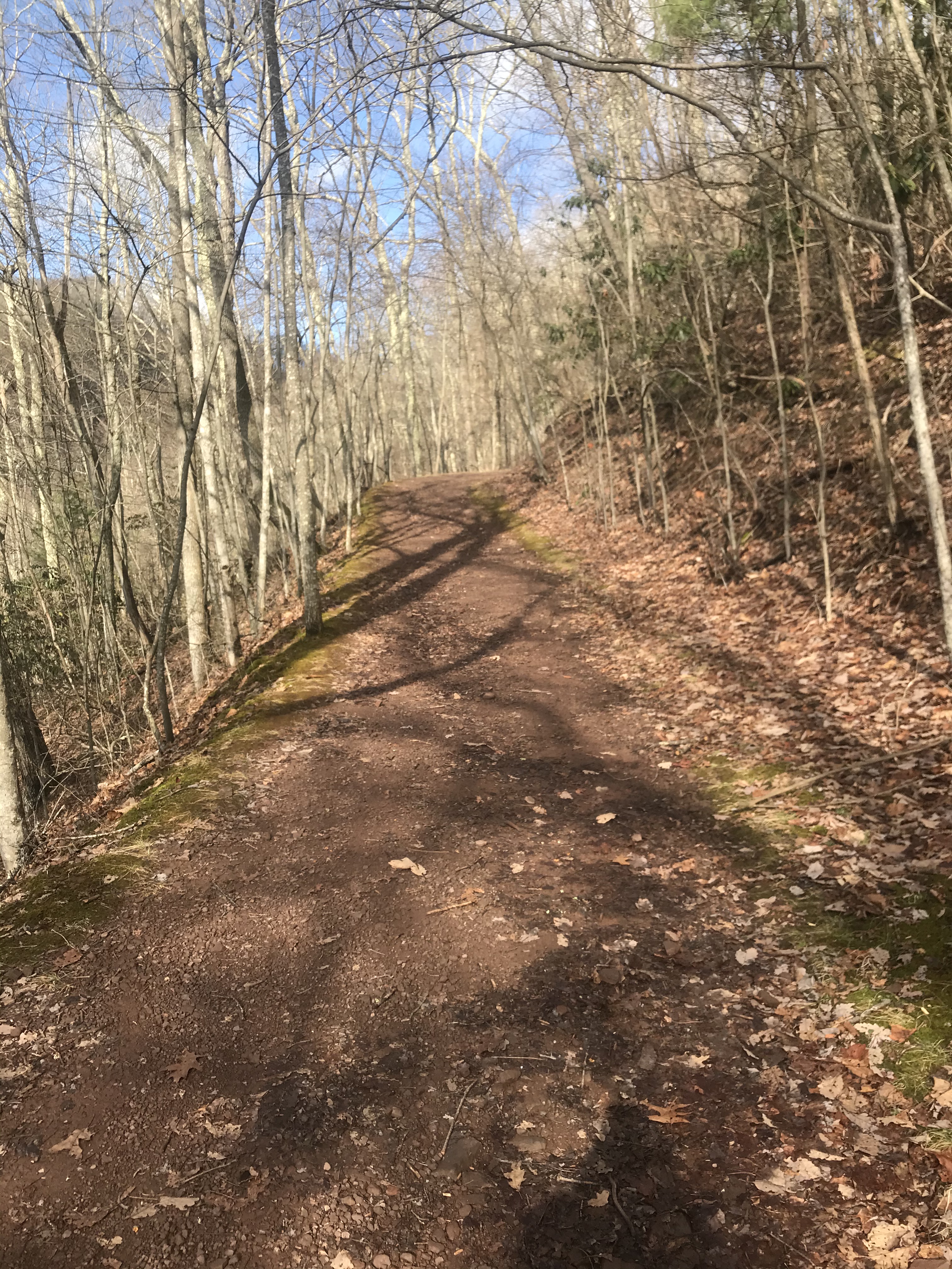
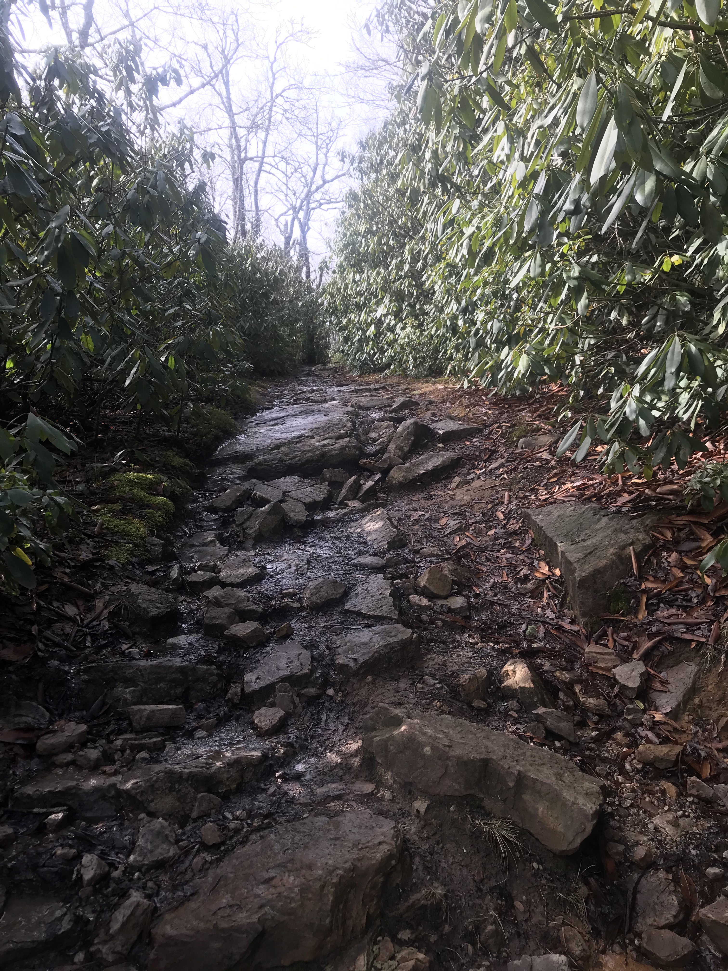
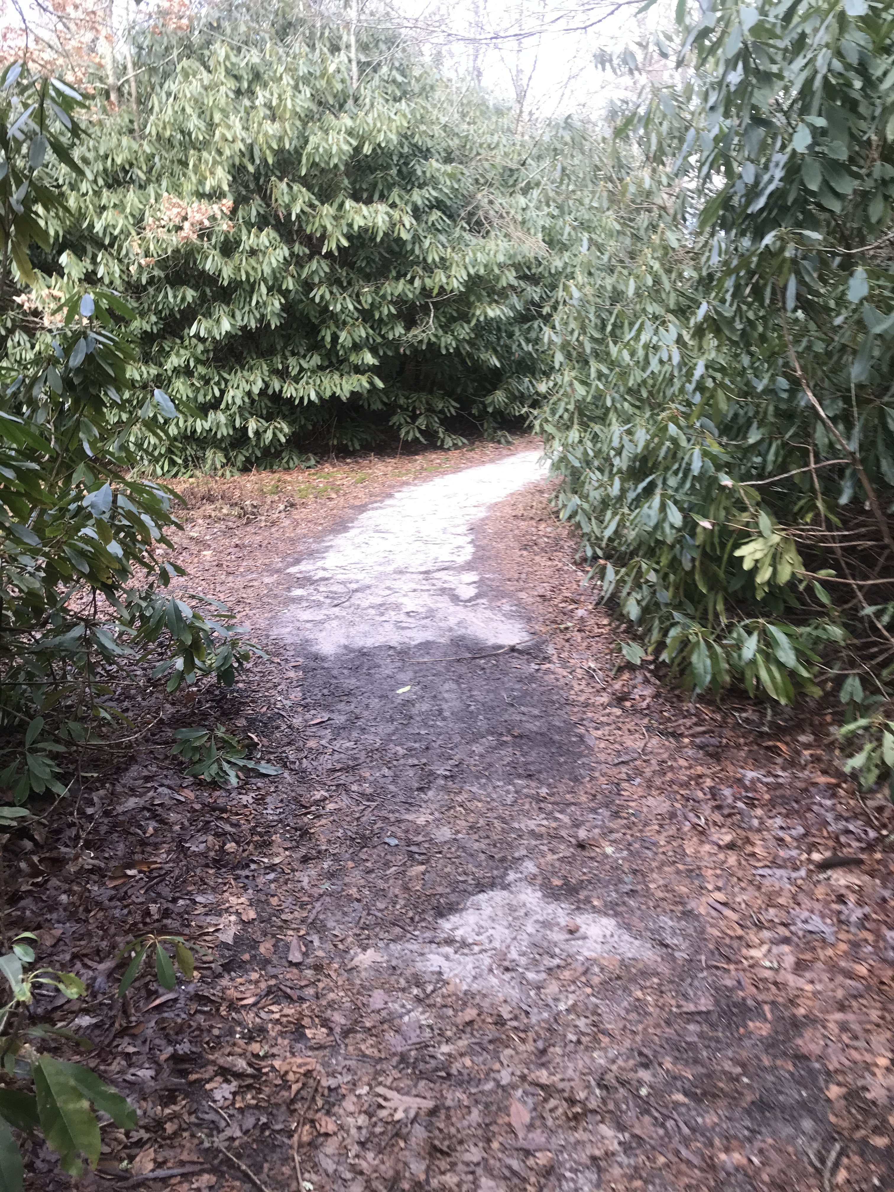
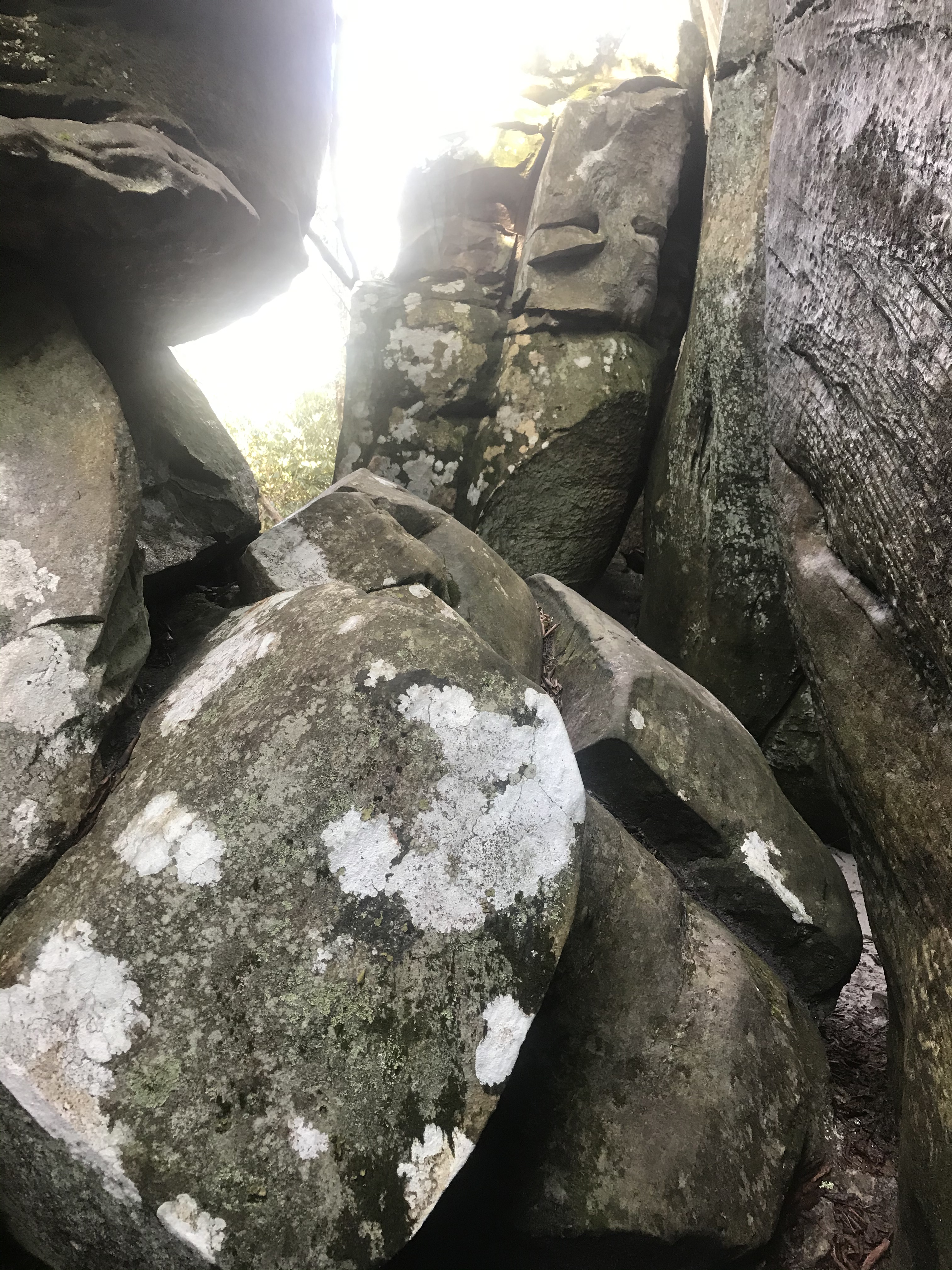
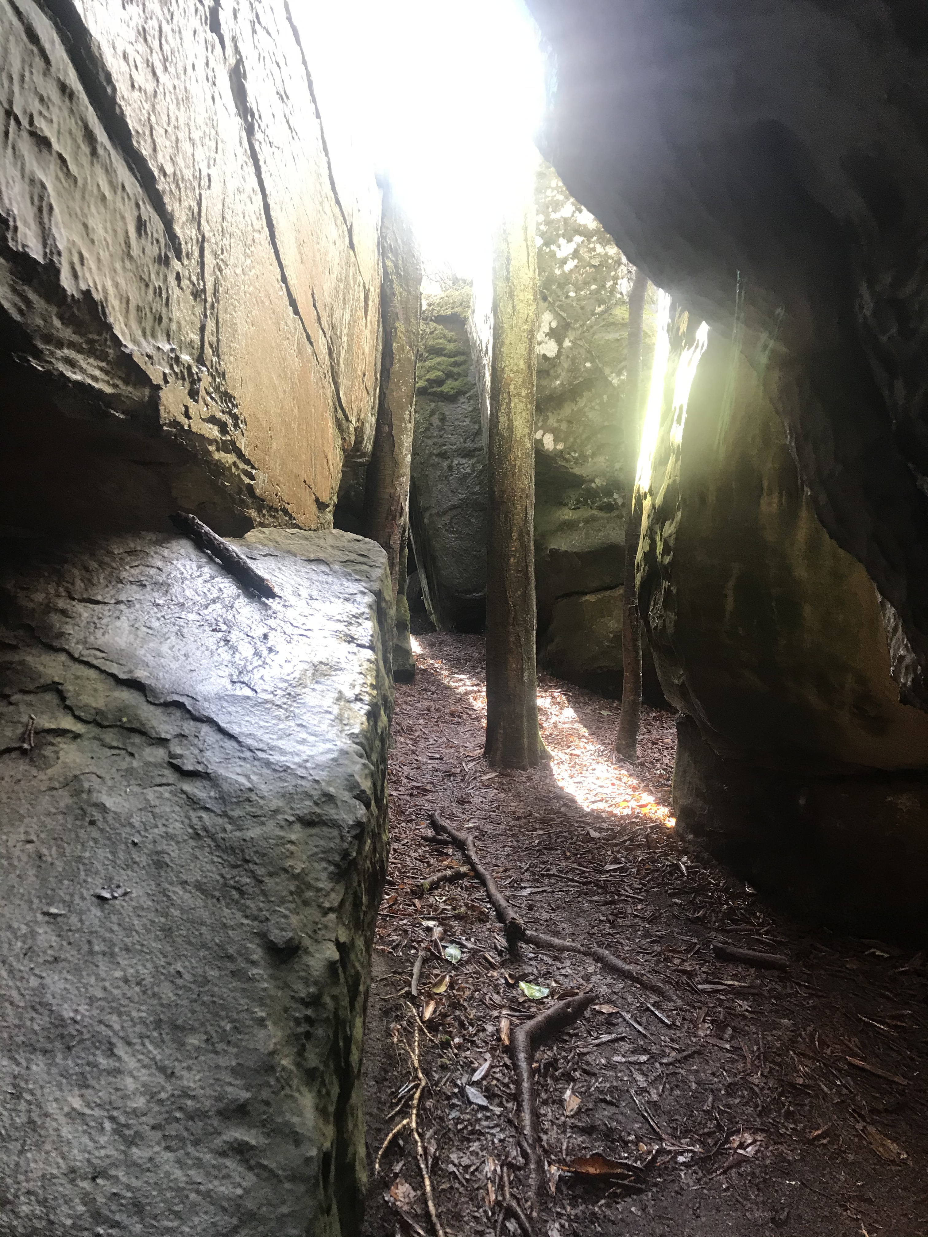
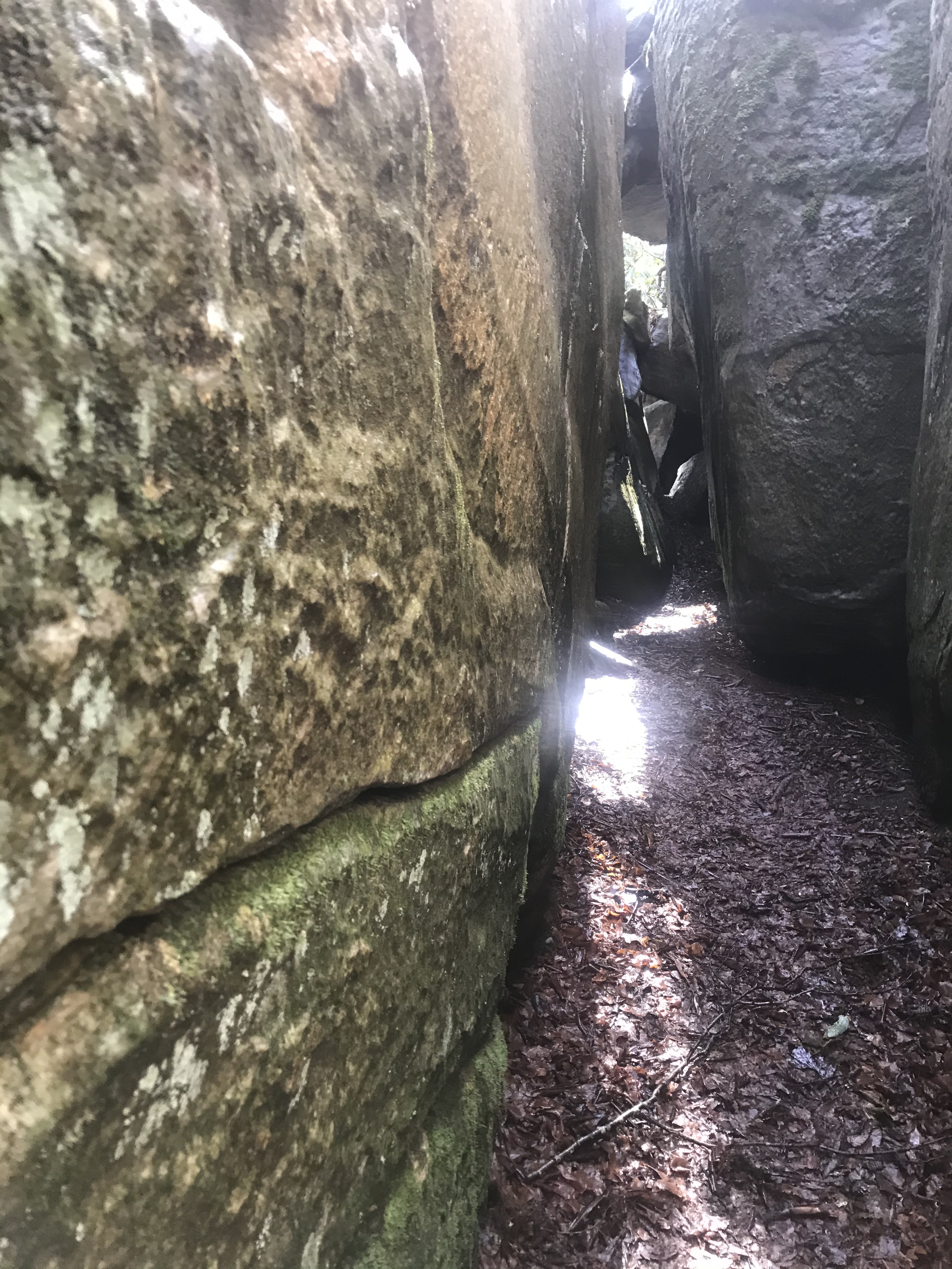
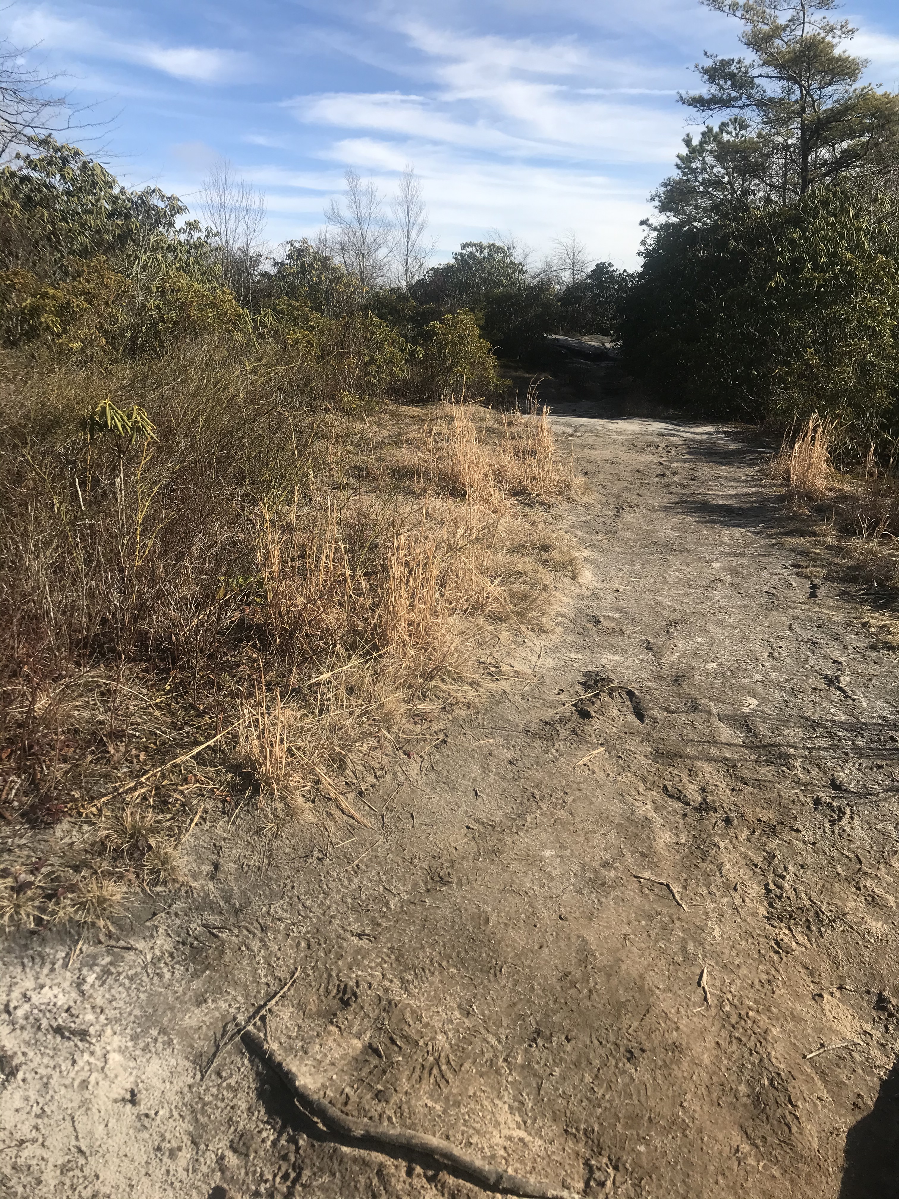
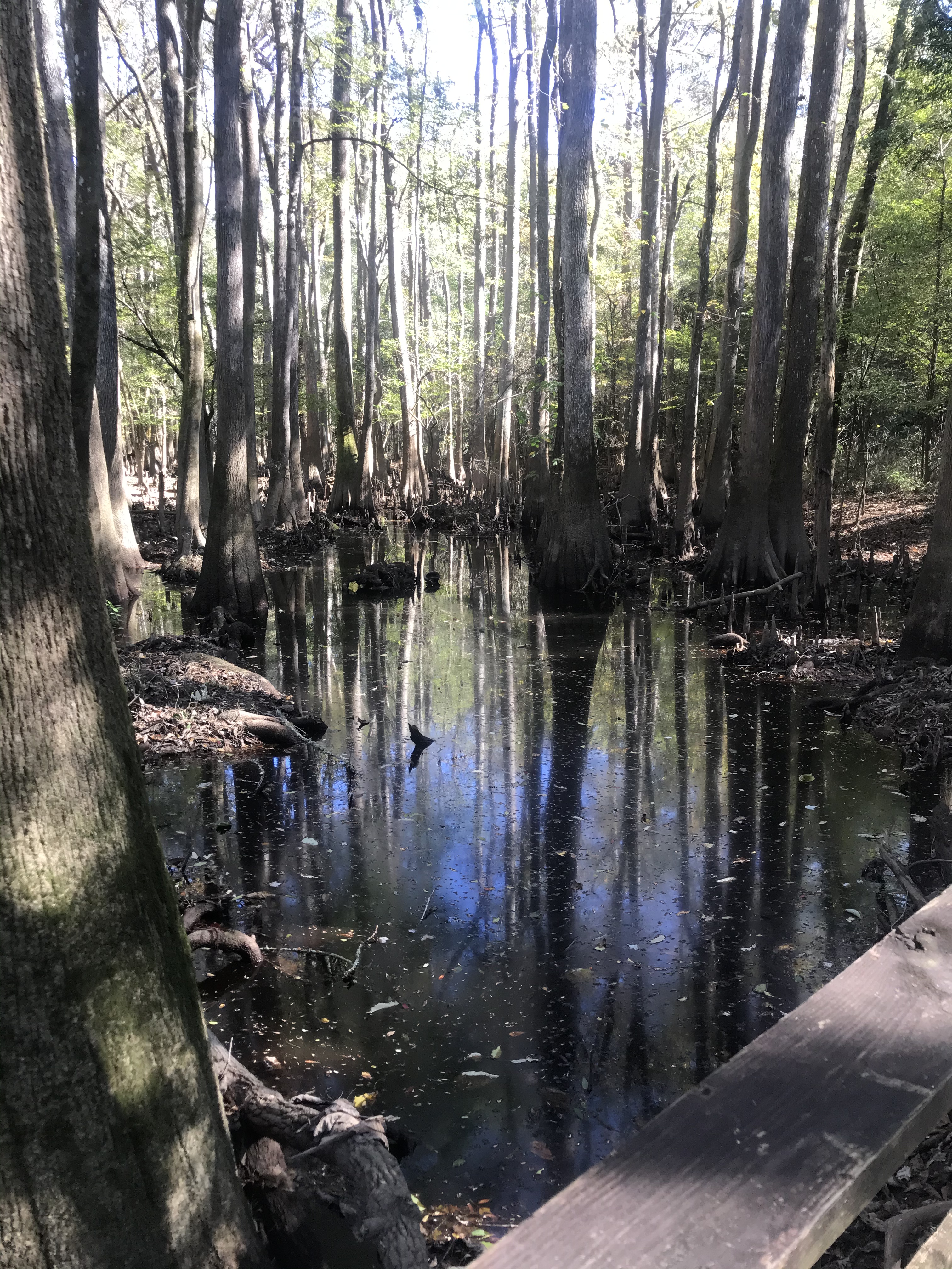
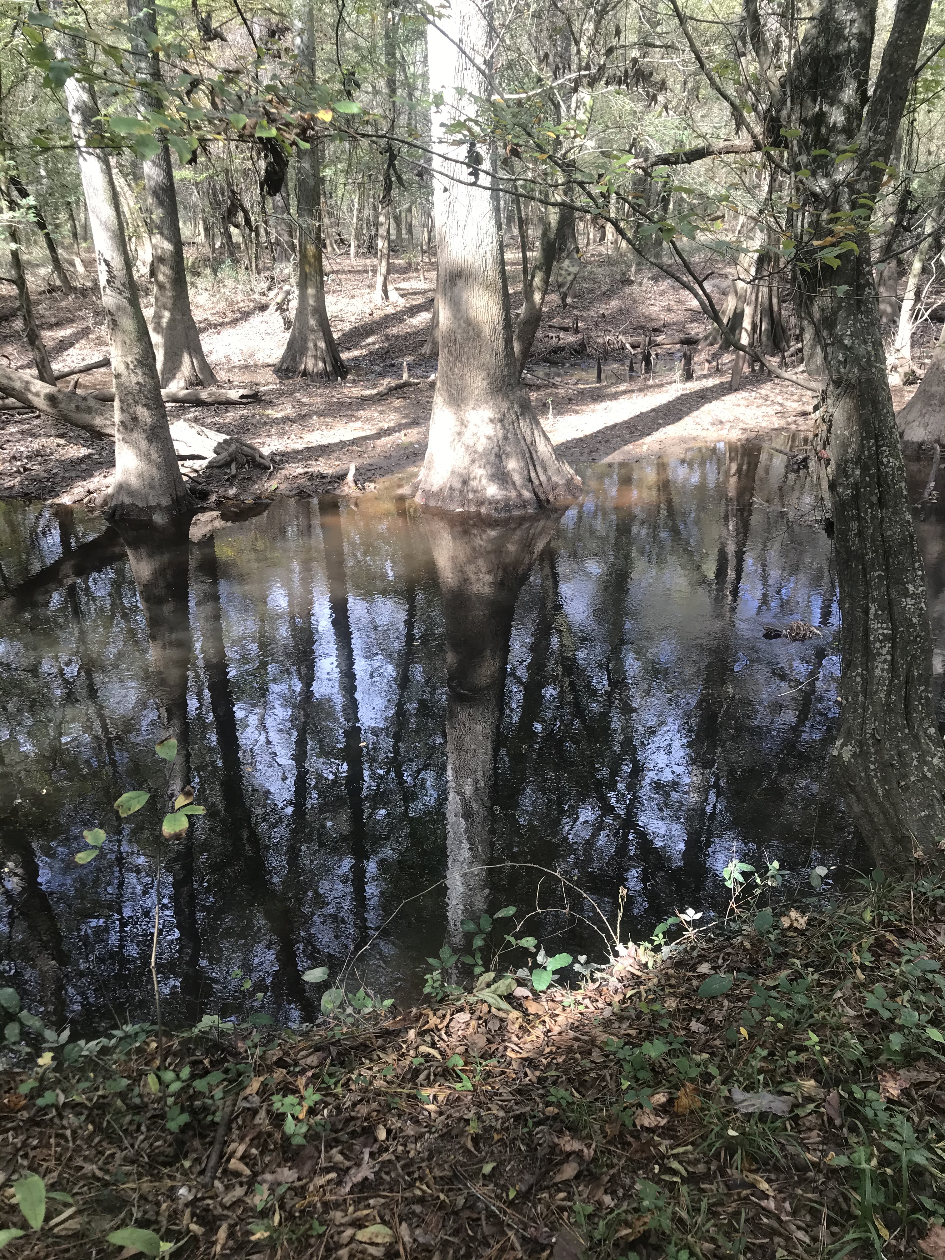
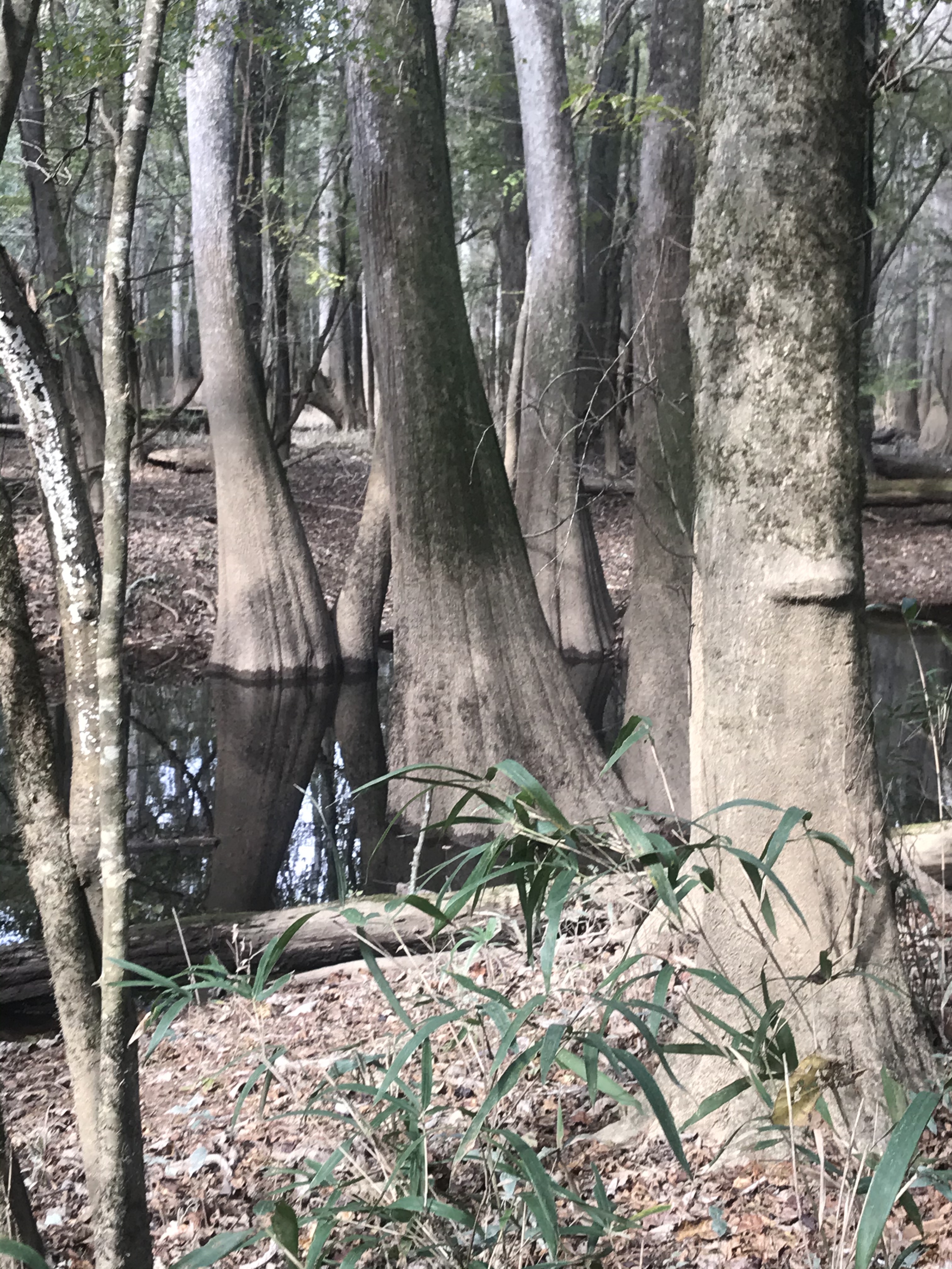
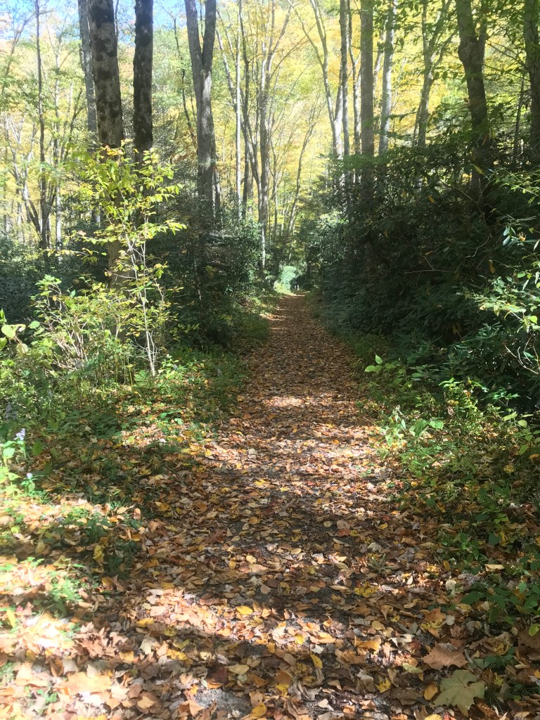
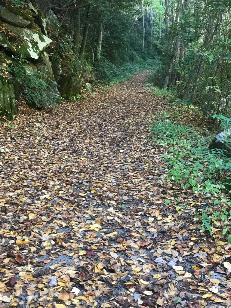
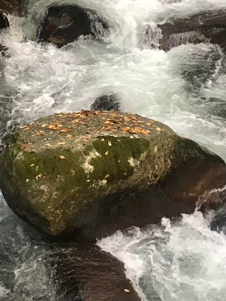
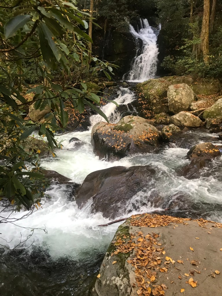
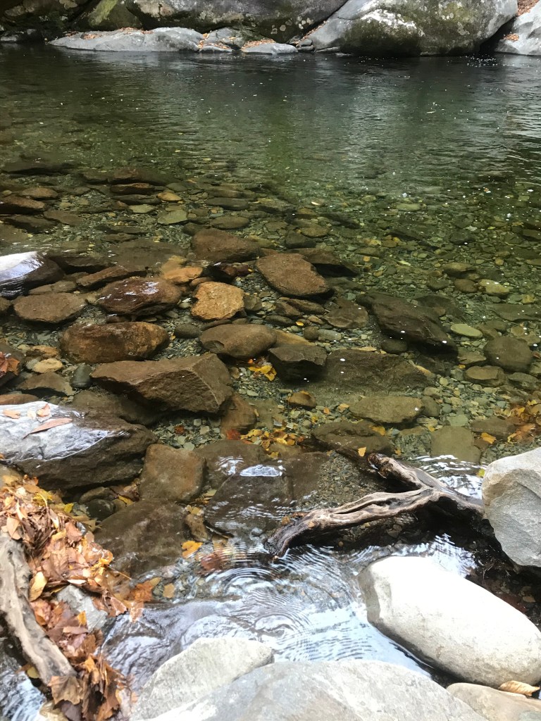
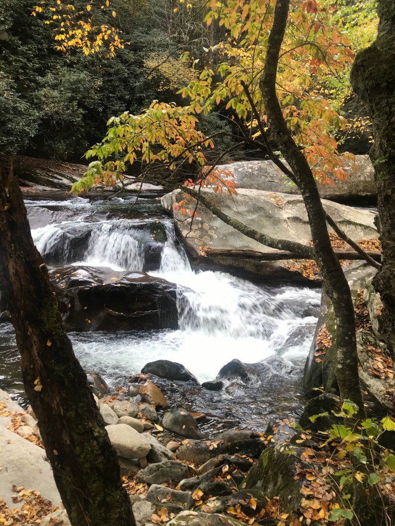
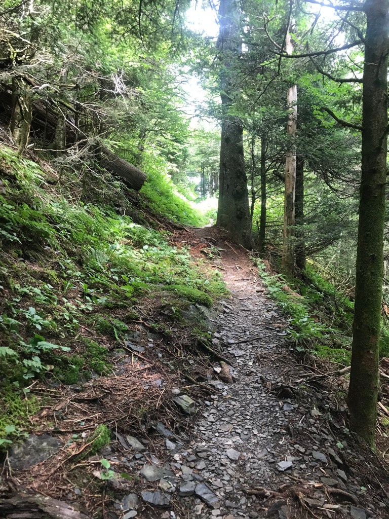
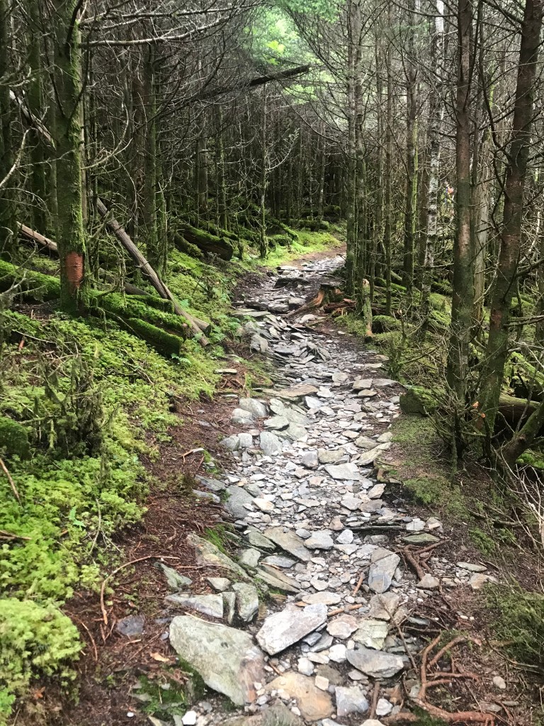
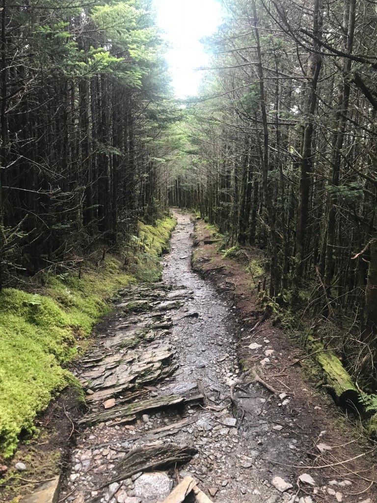
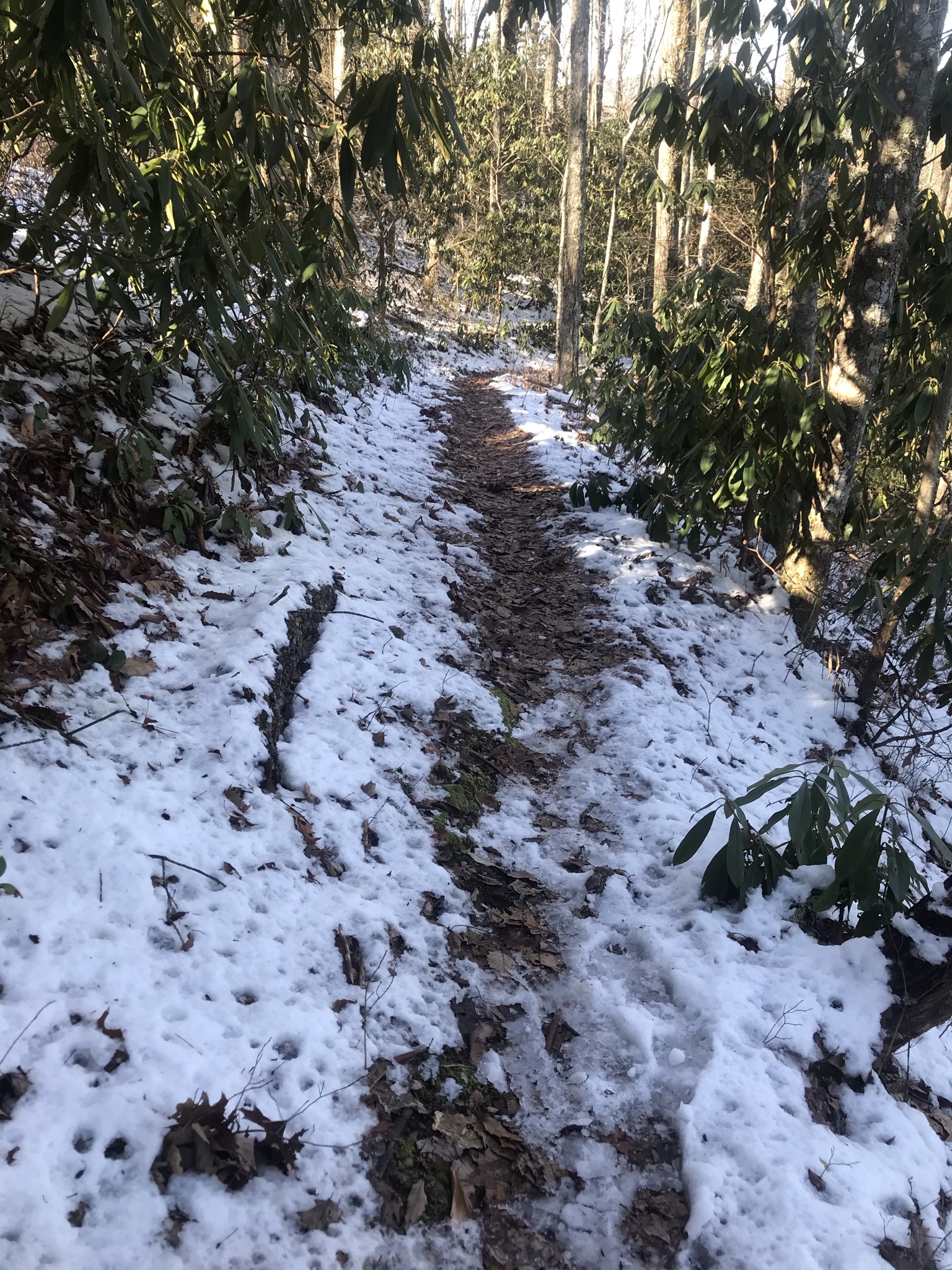
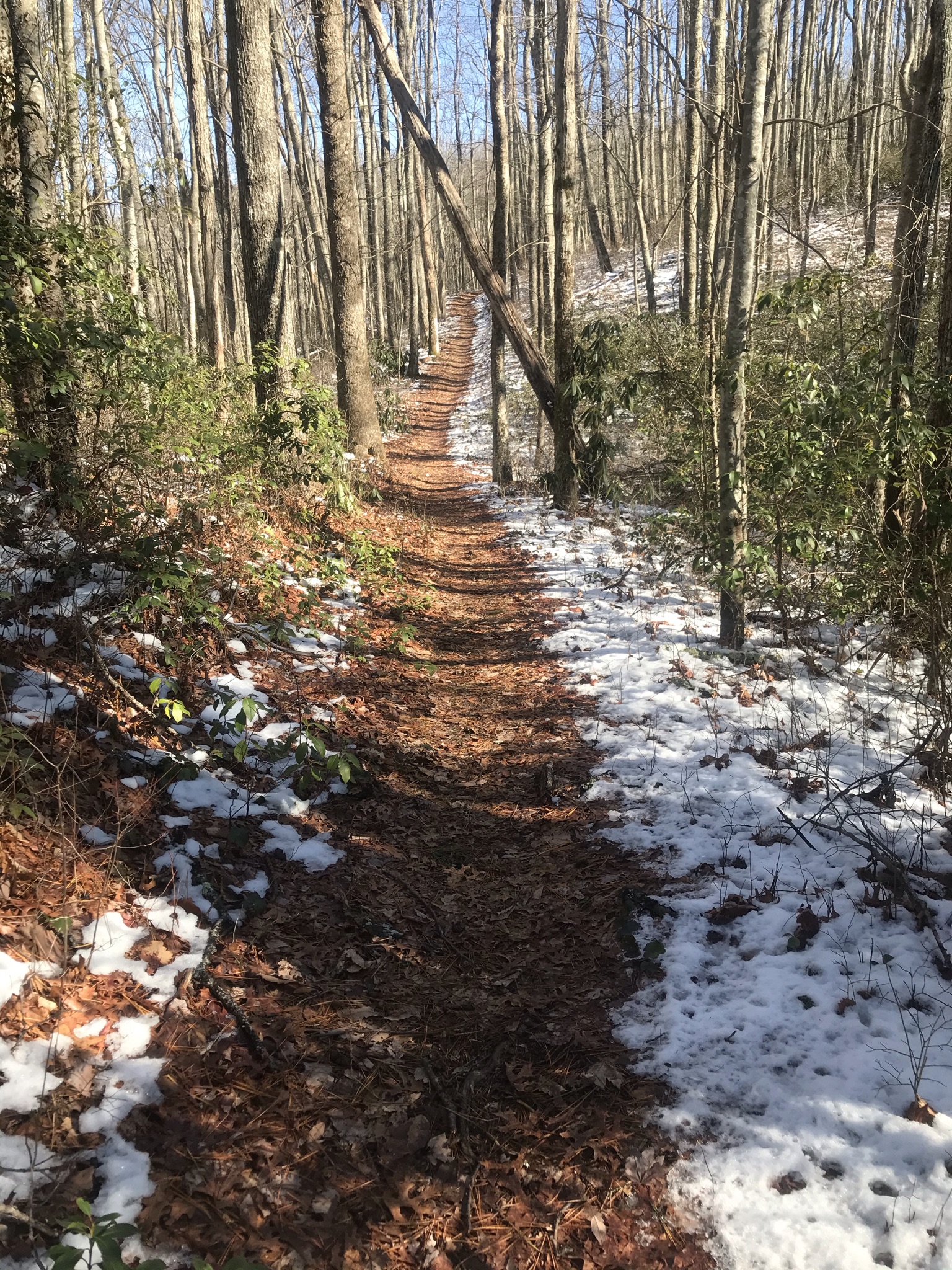
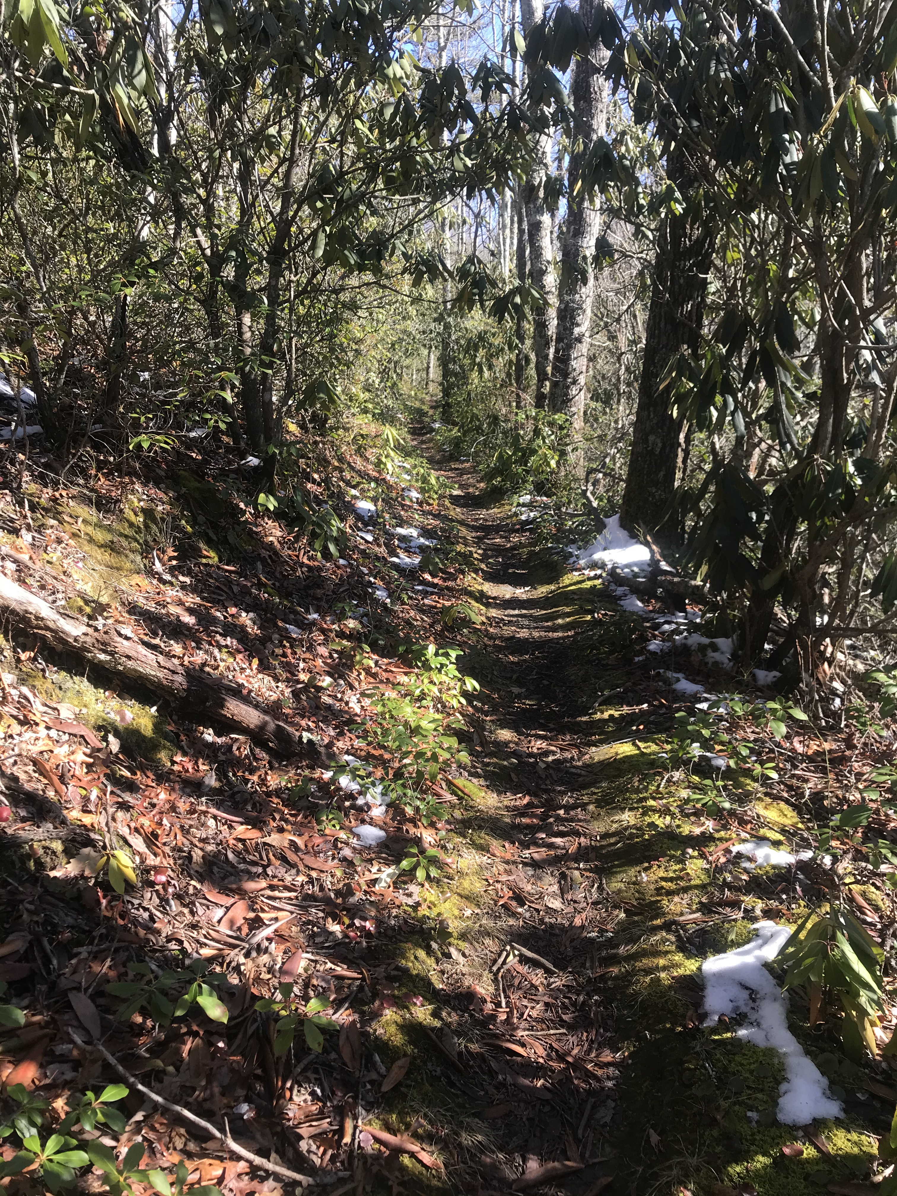
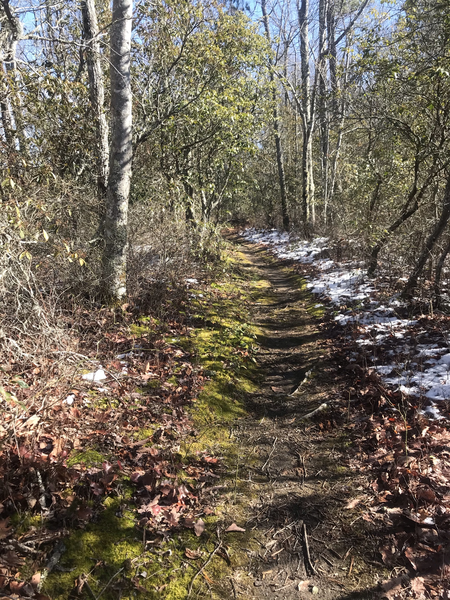
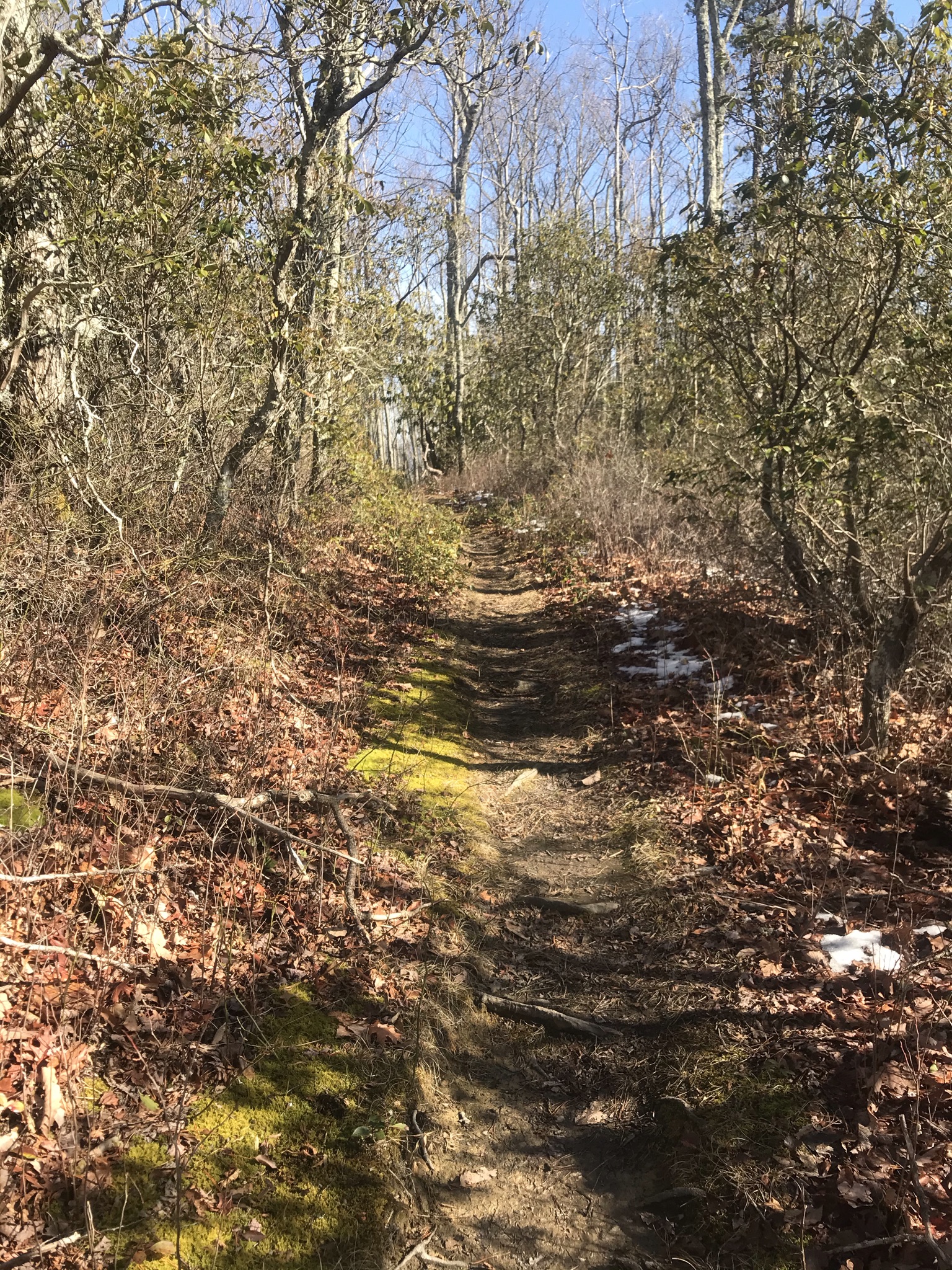
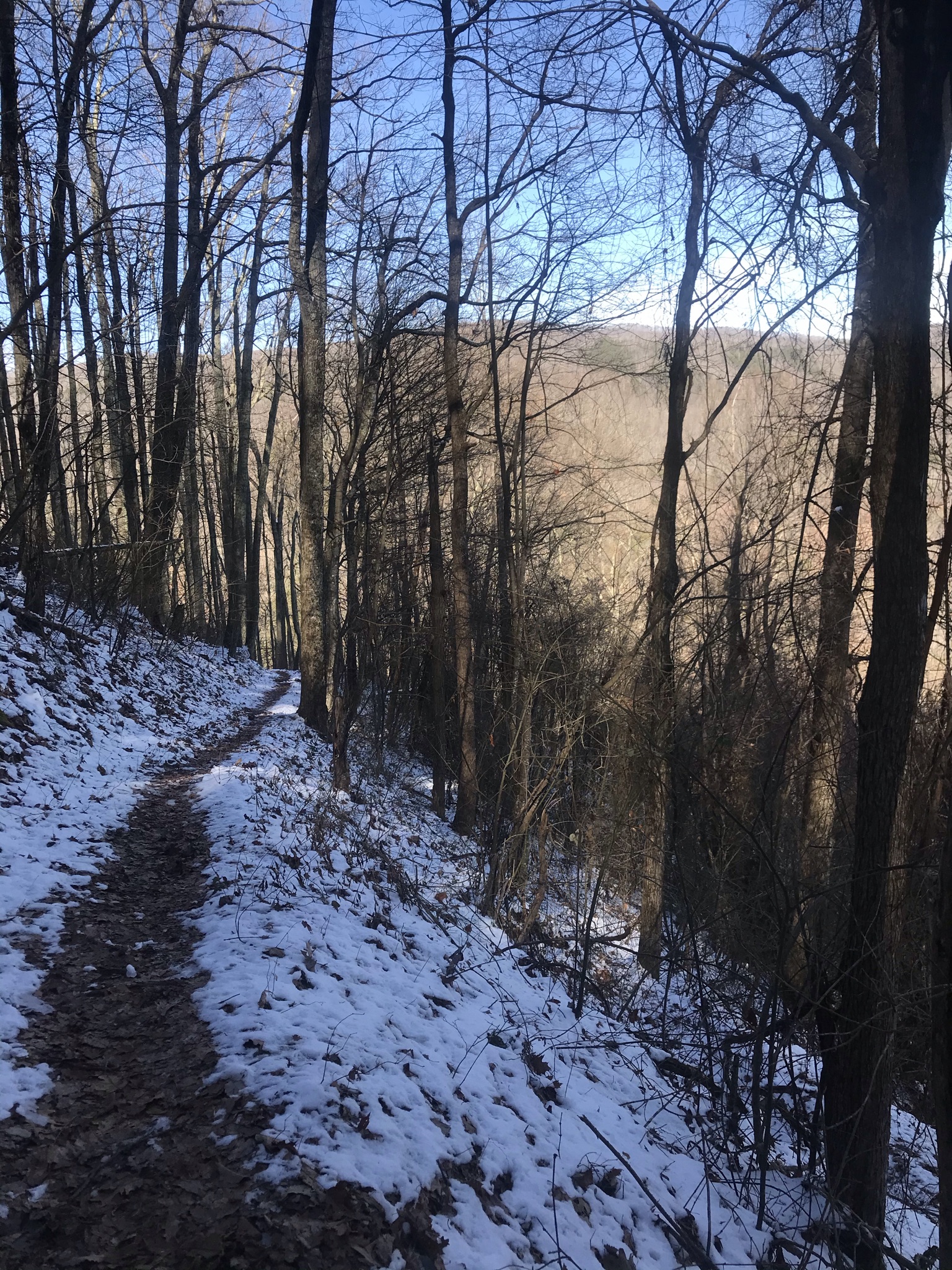
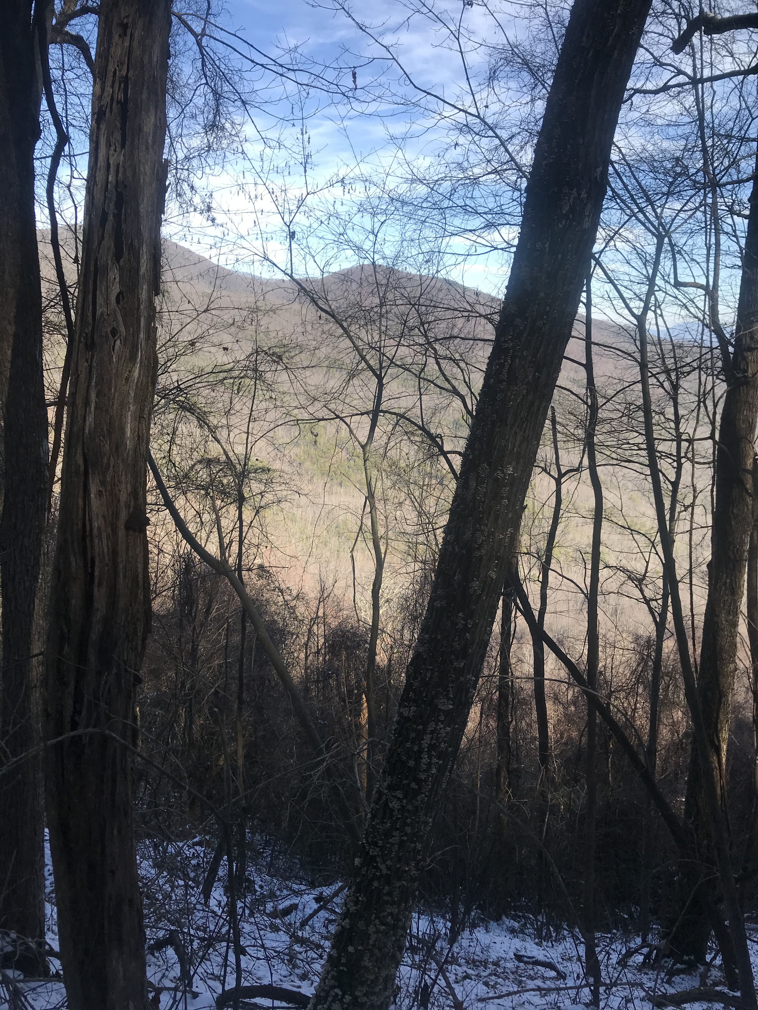
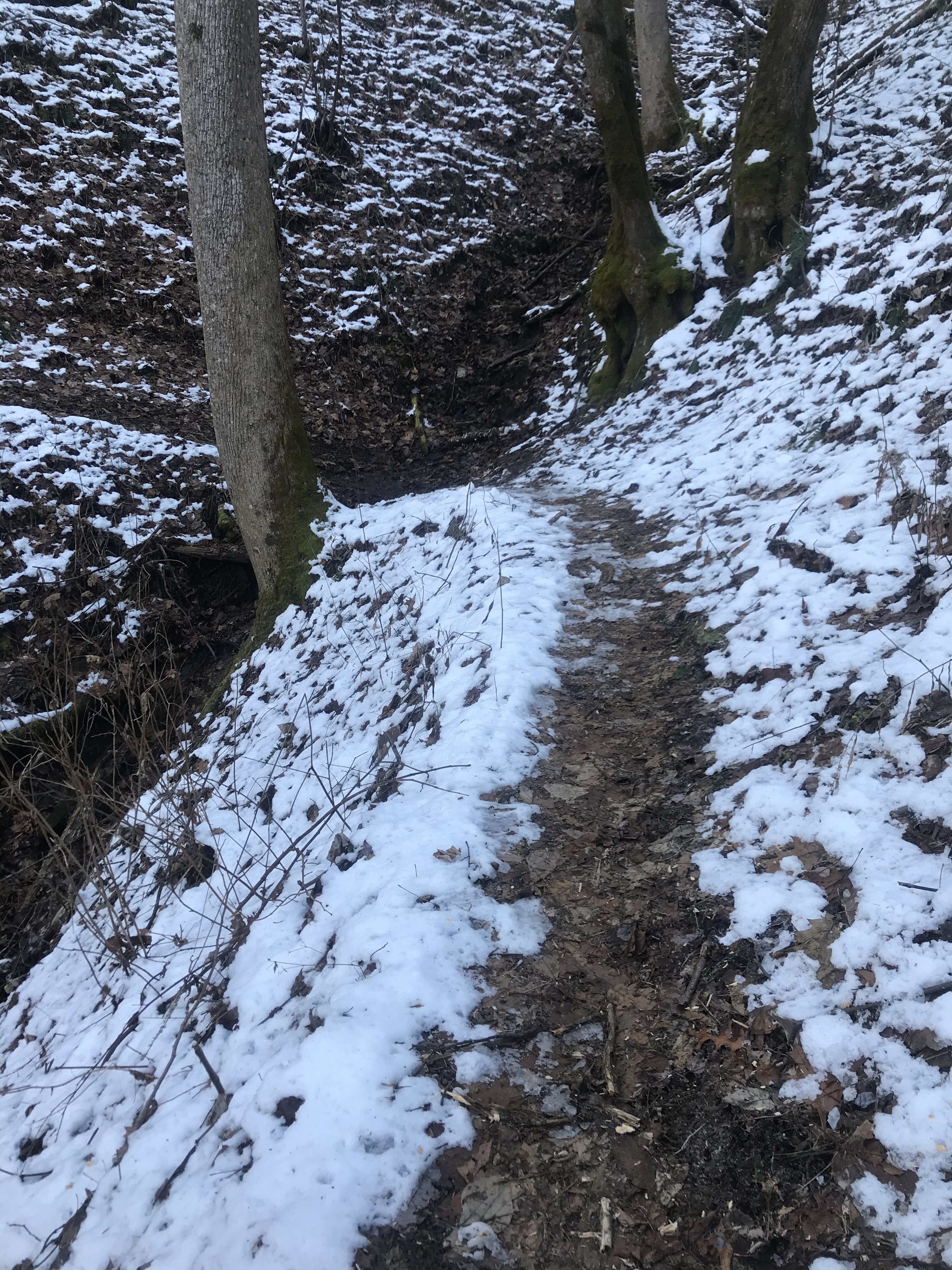
From the trailhead, one begins to climb. It is a fairly steep little climb and as I gained elevation, I found icy, snowy patches some of which were difficult to navigate as I had no spikes and they were quite slick. Luckily, they were not lengthy. The snow was in the shady parts of the trail where the sun, shining brilliantly on this day, could not reach it. Once I topped out, I found the sun, it warmed me enough so I removed my toboggan. I broke out in a light sweat from the exertion of the climb and the warmth of the sun as I walked easier terrain kept me from chilling. There were green tunnels of Mountain Laurel, and the moss shown brightly against the brown of the winter landscape. There were gaps in the trees and the vistas were stunning.

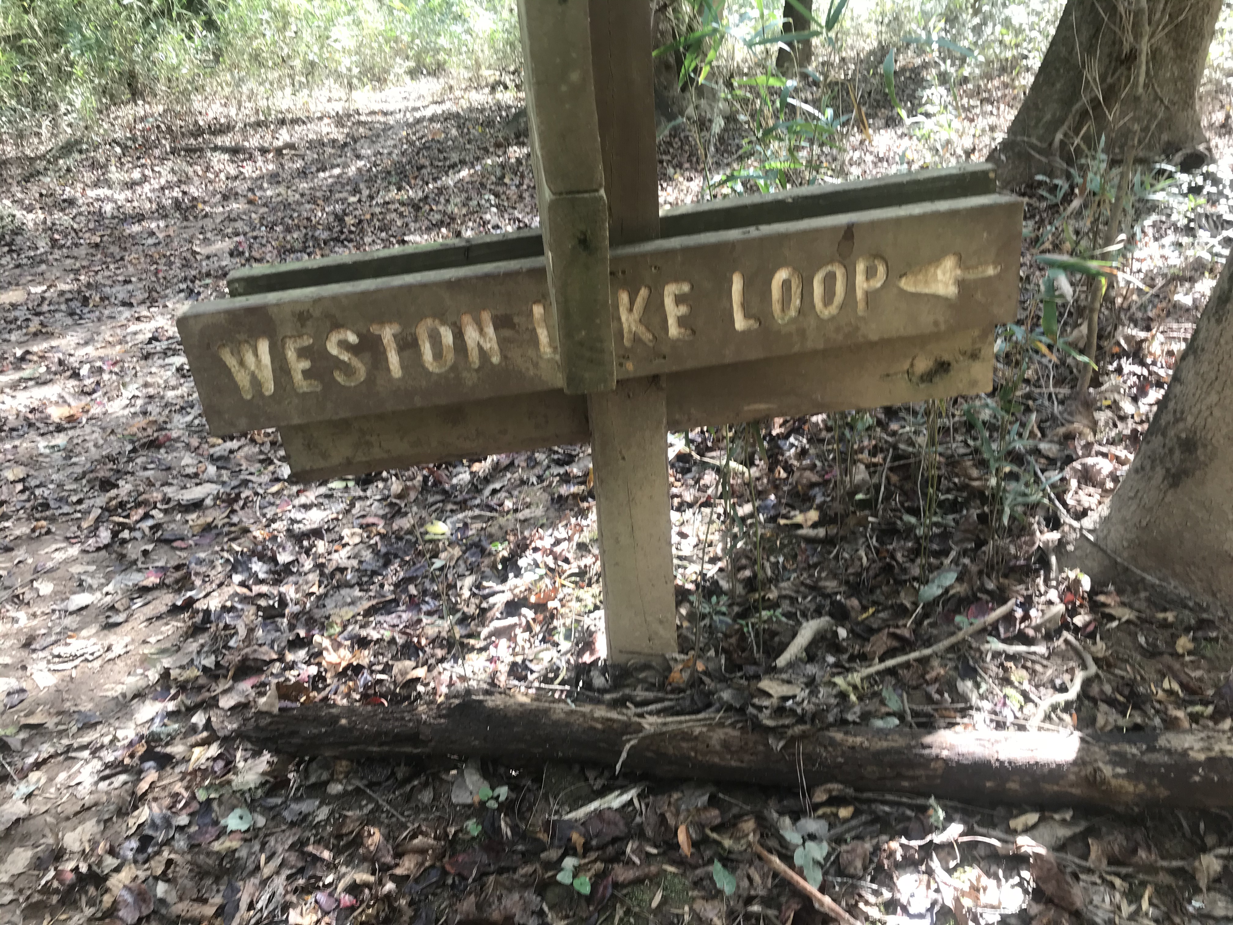
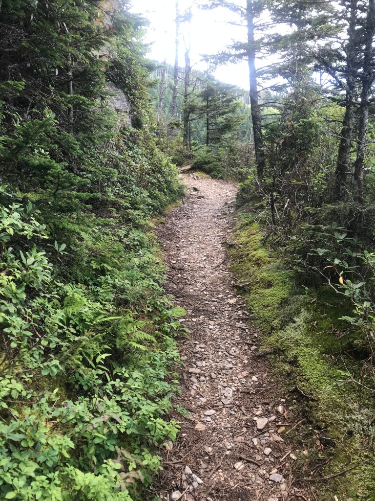
I haven’t solo hiked in a while having found some fantastic hiking partners. It felt good to be out on the trail. I enjoyed the challenge of the climb and the contrast of the greens with the wintry browns and the snowy patches. The stretch from where I topped out to the Junction with Huskey Gap rolled up and down finishing with a gentle incline. The intersection of trails was familiar as I had hiked the length of Huskey Gap with my sister and her husband before. I snacked at the intersection and reminisced about the last time I was here. I left my walking stick at this intersection on my last visit, picking it back up on our way back through. The upper half of Sugarland Mountain Trail was closed at that time due to the effects of the Gatlinburg Fire. I have seen the effects of this fire on other trails and witnessed the land healing as time passes.

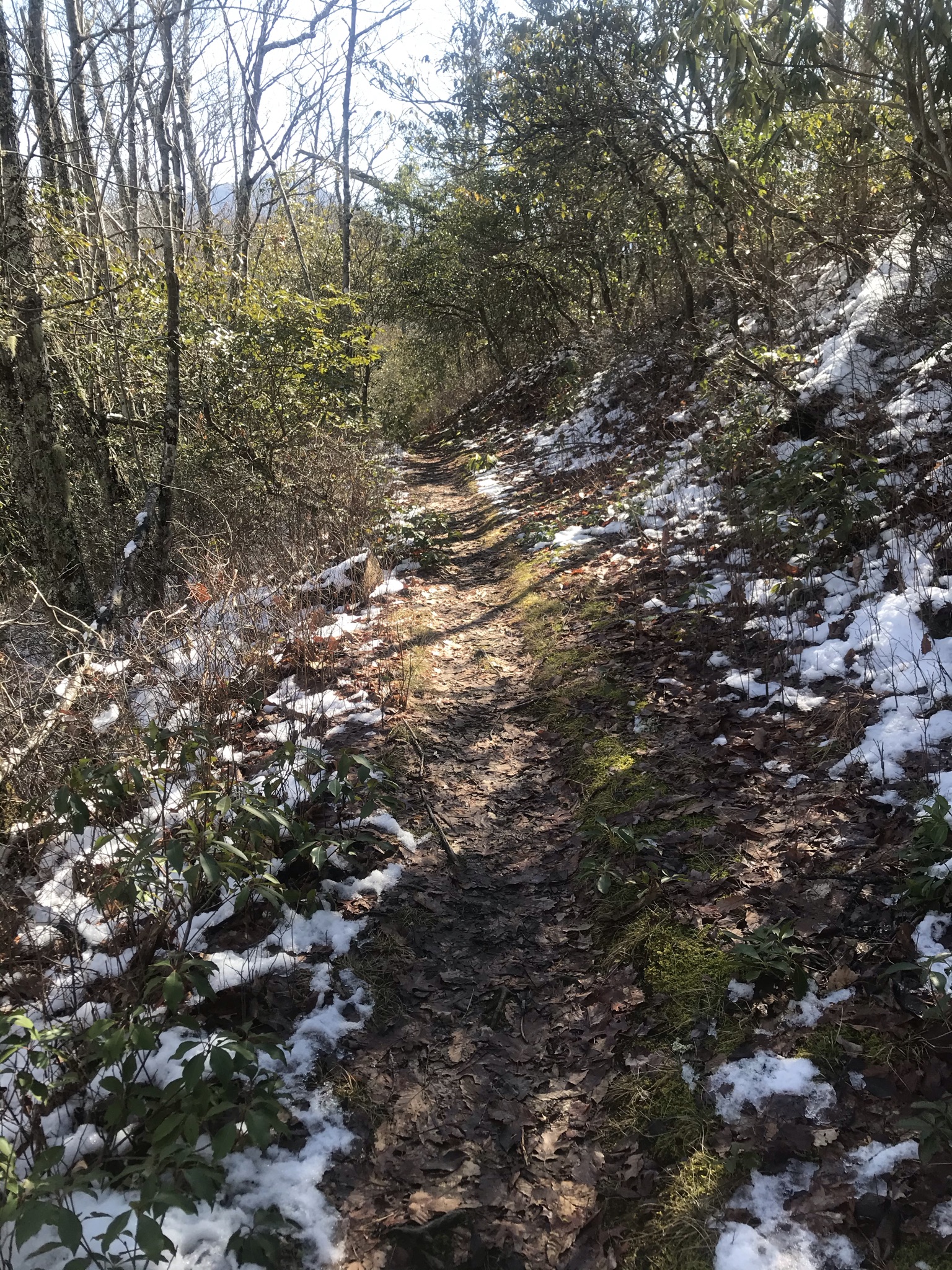
The hike back out, retracing my steps was pleasant. The trail is never the same. What catches the eye in one passing won’t be what catches the eye on another passing. On an in and out hike the change in direction changes what one perceives. It is almost but not quite like a different trail. This hike of 6.2 miles took me almost 4 hours to complete. It was a perfect length for the time I started out. This trail is relatively lightly traveled, so if you want some ‘me time’ in the Mountains it is a good choice. Happy Trails!

Pretty Hollow Gap Trail in the Great Smokey Mountains National Park Catalooche

Some days are set aside for perfection. The sun rises, the temperatures are just right, humidity is low, the company just the right person to share an adventure with, and this day had it all. It had it all except for me. It started out well and it ended on a very positive note but in mid ride I went off the track.

I met my friend Rhonda at Exit 8 at 8 am and we rolled down the highway in the Jeep catching up with one another concerning recent events in our lives as the miles rolled past. We got to the trail head in Catalooche at a little after 10:00 am. My current work schedule, the awesome 12 hour rotating shift fiasco, keeps me somewhere less than prime. I am tired most of the time, and I struggle with motivation and extreme fatigue resulting from sleep deprivation. I have been looking for some alternatives to give me more energy and I thought I had found one in one of the current popular supplements which shall remain nameless. I followed the directions before I left home and I was hyped, I felt energetic and mentally sharp and I bragged on it to my friend. At the trail head I looked forward to the challenge.

Sometimes, I pick trails in the Smokies because I have not done them yet. My goal is to eventually walk them all. I had texted my sister to see if she wanted to join us and she demurred, saying she had tender knees from a tumble and wanted to give them a few more days to heal. Donna had already hiked Pretty Hollow. Rhonda had looked up the trail on a trail app she favors and as we started up the gravel road that marks the beginning of the trail she told me that the trail app had designated Pretty Hollow a difficult trail with over 2300 feet of elevation gain total, the elevation gain happening mostly on the last third of the hike.

I did not know that, having picked Pretty Hollow because I had not done it yet…mmmm….I grinned, I was game, I had energy from my supplement. I could conquer Everest..I was chipper as.we passed the Horse campsite which was full of haulers, many people had brought their horses out to enjoy the beautiful day. We saw 2 elk enjoying a pile of hay next to a campsite. As we progressed up the trail we had to step aside for a large group of horsemen. They were not the only group we saw out and about on their horses either.

The trail followed the creek and at 0.8 mile we passed the juncture with Little Catalooche trail, The trail had a gentle incline as we made our way towards campsite 39. At 1.6 miles we passed the intersection with Palmer Creek trail. At 1.9 miles we arrived at campsite 39. We saw a couple of different groups of campers stirring around the backcountry site, which is probably one of the more heavily used backcountry sites in the park. The temperatures were perfect, the breeze refreshing as we began to climb in earnest.

We had gone a little ways up the steeper incline when my heart began to race and I began to feel a bit off. The supplement was a patch so I took the patch off and told Rhonda I wasn’t sure what was going on but I felt a bit wonky. I thought I would walk it off and be fine. I brushed aside her concern and we continued to climb. As we hit even steeper terrain my heart rate spiked up higher than I like to see it. I blamed being out of shape, but I am not so sure that was the cause. We would rest, my heart rate would go down, we would resume and my heart rate would spike. The trail was stunning, as we climbed we ran into pockets of wildflowers, The trail actually goes through 3 different echo systems and the different flora catches the eyes.

I was doggedly determined to reach the end of the trail, where it intersected with Mt.Stirling Ridge trail. We passed a smaller group, who then passed us as we were resting. At the trail intersect, the halfway point of our in and out hike, we caught up with the group again. They were sitting around the gap enjoying getting the hardest part of their hike done. The area was beautiful, the forest floor covered with tiny white flowers. It looked like a fairy land. I took off my backpack and sat down on a log. I was sitting there my eyes drinking in the beauty around me when my body decided to take it up a notch and my world tilted. I could feel my stomach roll and I couldn’t sit there. We were 5.6 miles from the Jeep and I suddenly felt like crap. Thankfully, this half of our hike would be down hill.

I sucked up my will power, I took deep breaths and I told myself I had no choice, I had to get back to the Jeep. Rhonda led the way downhill, and I walked and fought with my guts. Nausea would roll me and I would fight it down and I would determinedly plod on. It was a losing battle and even as I fought it I knew I would eventually succumb. I made it 2 miles before I admitted to Rhonda how much I was struggling. Immediately, she took a kerchief and wetted it and asked me what she could do. There wasn’t a whole lot, this was my crazy train and I was the only one on board. She paced me, looked out for me, helped me with her solid support and encouragement. There are times when God reminds us that even in distress there are blessings and she was mine. She was there when I needed, and she gave me space when I needed. When I finally lost my battle and emptied my stomach, she made sure I was able to continue and she took my backpack from me and carried my load and hers the last 2 1/2 miles out. After I threw up a couple of times I leveled out and trudged stolidly out of the backcountry with my friend.

Thank you Rhonda! Today you were my hero!

Day Hike to the Great Channels in the Channels Natural Area Preserve in Southwest Virginia

I started off the New Year in the best possible way. I met with friends, Rhonda, Tammy and Silas for a day hike to see and experience the natural wonder that is the Channels in Southwest Virginia. Living where I do the options for adventure surrounding me in any direction I would choose to go are so abundant it is sometimes difficult to decide where to go and what to explore.

The Channels, a Maze of Boulders and Crevices near Abington, have been on the short list for a day hike for quite a while. The Channels Natural Area Preserve is 721 acres of forest, fire tower, trails, views, and a 20 acre labyrinth just waiting to be explored. We set out on Saturday January 7, for the 7 mile round trip hike to the maze that originates from a parking area on Highway 80. The parking lot on Highway 80 is limited to 10 cars, controlling the number of folks who are loose in the Channels at one time. This is to somewhat protect the natural resources and offer a more enjoyable experience to the hiker by preventing overcrowding. The lot is policed and cars illegally parked can be towed. If this hike is on your list have a backup destination in mind in case parking is not available. There are 2 ways into the Channels, a long hike and a short one. On our way in we went to the trailhead for the long hike before figuring out we had chosen the wrong directions to plug into the GPS. Correcting our course after a cool drive up a gravel mountain road in the Jeep Gladiator we pulled up to the parking area on Virginia Highway 80, just as another vehicle was backing out. Luck was on our side!

The day had started out cool, overcast and gloomy. As we disembarked and gathered our gear the sun peaked out from behind the clouds. As we began the hike up the gravel fire road the clouds began to disperse. The world warmed up as we climbed. When the fire road swung right we continued straight following directions towards our destination.

We met other hikers coming and going, we passed family groups with children and we were passed by younger more athletic hikers. The climb towards the summit was intense in places. The climb was rated semi strenuous and it told on us in places. The trail narrowed, and became rocky in places. Treacherous footing and slick conditions made having a hiking staff or poles a good call.

It felt great to be out with friends. The hike was just right for the first one of the new year. We had some nice vistas looking off into the distances. We traveled through green tunnels that contrasted nicely with the wintery landscape. We topped out at the foot of a Firetower. The tower reached high into the now blue sky. Passing beneath it we hit the trail to the Channels. We clambered down and entered the maze. The boulders reached up into the sky, the sandy paths winding through them twisting and winding around. It has a slot canyon feel to it. The rock formations were interesting and the site has a middle earth feel to it. I enjoyed the trip outside the mundane. I breathed in the cool clean air and wandered the maze. We made our way back to the base of the Firetower and ate our snacks in the sun. Soaking in the sun on the 7th day of January in the Year of our Lord 2021, I had a moment of deep revelation.

All things are relative, all time is finite. All I have lies in the moment where I find myself. What is happening in our world today is frightening, and fear is a malignant spirit that will creep into the soul and destroy the peace and joy that is ours as Children of the Most High God. Hang onto what is most precious. Find and feast on that which feeds the spirit on the goodness that is available.

This is a magical little hike, 7 miles round trip that took us about 4 to 4.5 hours. I didn’t mark start and end times. Until next hike!!!

Two Days of Exploration at Congaree National Park, The Boardwalk Trail, The Sims Trail and The Weston Lake Loop Trail

This year, 2020, has been the most screwed up year I have ever lived. Between the ‘pandemic’ lockdowns and the ebb and flow of a disease that threatens the world nothing has been simple. I try to take my Mom, who loves to travel, to a different National Park every year. Our plans were cancelled and our reservations refunded and all looked to be put on hold. Time is a cruel mistress, once she has passed by there is no going back. We did not get to go to our Park of Choice, but we did get to go to and experience a National Park that was new to us. And it came about unexpectedly in the way most treats do. My son was sent to Columbia, SC on a work assignment and he invited us to come and bring him a little home cheer.

It turns out that Congaree National Park is only 17 miles from Columbia. We packed our National Park Passport books and walking shoes and headed that way. On Friday while my son was working, Mom and I made our way to the Park Visitor Center. The Covid guidelines have some facilities open but not fully accessible, which was the case with the book store. We picked up a Self-Guided Boardwalk Tour brochure and proceeded to make our way around the 2.6 mile Boardwalk. The Self-Guided brochure is full of interesting information and called our attention to many things we would have overlooked while giving us a bit of Park history and description. The Boardwalk is an easy jaunt through what was to us an alien landscape. Mom made the hike easily though she did tire a little from the distance. “Congaree protects the largest remaining tract of old-growth bottom land hardwood forest in North America.” The brochure tells us and the trees were magnificent. We identified Beech Trees, Cyprus, and Loblolly Pine Trees. It was a beautiful temperate day for this lovely outing. We strolled the Boardwalk checking out the Cyprus knees jutting up from the swampy earth. There are places that give me, a fantasy aficionado, that sense of Middle Earth. One could almost imagine Elves, or Hobbits popping up. Congaree gave me that sense as we wandered the Boardwalk and I hoped I could talk my son into coming back and going on some of the other trails with me. I wanted to step off the Boardwalk and wander this magical place down the well marked trails.

Lucky me, my son agreed to ride back out and go on some backcountry trails. We did the 1.6 mile Sims Trail to where it ended at Wise Lake, the trail was graveled and mushy in places as one might expect. The Weston Lake loop trail was closed for part of its length, we hit it where it crossed the Sims Trail and wandered about 3 miles of it to hook back onto the Boardwalk. It was every bit as good to explore the trails as I had imagined. It was a bit cooler and overcast this Halloween day. Congaree is pet friendly and we saw many folks with their dogs. We feel like we hit this Park at a good time, the insect population did not make an appearance. I imagine in the summer mosquitos are pretty bad.

Congaree is a beautiful unique park and well worth checking out. Until next time, keep looking for the magic in this world.

Big Creek Trail in the Great Smoky Mountains National Park

On Saturday, October 17, 2020, my friend Rhonda and I rolled out into the Autumn morning, the cold nipping at exposed skin hinting at what is to come, to venture into our favorite National Park. The call of the forest and the promise of the mountains filled us with anticipation. Our last adventure had been over a month ago, a short hike to Hen Wallow Falls with friends who were interested in hiking.

Today we chose the 5.3 mile Big Creek Trail in the Big Creek Area of the Great Smokey Mountains National Park. This trail is not a strenuous trail, being an old rail/road bed it is wide and the incline is gentle as the trail progresses. The trail offers beautiful views and many access points to Big Creek. Along its length one comes to the popular swimming hole, Midnight Hole, and the beautiful waterfall Mouse Creek Falls. Our goal was campsite 36 at Walnut Bottoms.

When we arrived at Big Creek the parking area was filling quickly. The promise of the cool, sunny day drew others. We parked and unloaded, and started out on Big Creek trail. The first short leg of the trail looks down on the creek. Then the trail comes level with Big Creek and the sound of the flowing water is a constant companion. The Fall colors were present but promised more to come as the days pass. The air was crisp, fresh and refreshing.

So far 2020 has been a year unto itself, unlike any other before and the disruptions have defined the year. Plans changed, the edginess in the air as folks deal with life defining and redefining events, the political upheaval, leaving us all reeling and wondering what the future holds. Staying grounded takes effort. There is no better place to hit reset and regain an honest perspective than the forest.

The change of seasons promises that nothing lasts longer than its proscribed time. We may not know that time, but all things good or bad rise and fall, live and die; we are not locked in we are merely passing through. My feet shuffled through the carpet of fallen leaves. The water tumbled and roiled in the creek beside me. There was nothing static in the environment. In that I embraced the hope that what is now will pass, it will fall and the days will grow shorter, the nights longer and colder, then one day I will see evidence of rebirth. The key will be to survive the darkness holding onto the promise of light.

We stopped for photo ops at different points of access to the creek. Midnight Hole 1.4 miles along the trail, was peaceful and alluring, The water was so clear the bottom easily visible. We stayed there for long moments setting our little monkeys free relishing the feel of the lightening of the proverbial load.

We went on, coming to Mouse Creek Falls, and enjoyed the view of the Falls. We saw other photographers as we went along. The photo opportunities along Big Creek are phenomenal. The blue sky highlighted the fall colors. We crossed a nice little bridge and made our way to the Campsite.

The remaining miles to the campsite was an easy walk, the gentle incline unnoticeable as we walked, stopping often to just breathe in and appreciate the ambiance. We took a snack break at the campsite. The trip back out was as enjoyable as the hike in. It was the perfect choice for the day. I would recommend this trail to anyone. Lots of folks hike into the Falls and back out. We met many folks on our way out after having had the trail to ourselves on the trip in. Until next time. Hike on my friends!

The Boulevard Trail to Mt. Leconte Lodge and Back

On Saturday August 8, 2020, my friend Rhonda and I met in Morristown Tn, and headed to the Great Smokey Mountains National Park to do an in and back hike to Mt. Leconte Lodge via The Boulevard Trail. I had hiked this trail with my sis and nephew on a chill December day a few years ago, but the day had been cloudy, with a mix of sleet and rain. The views from this magnificent trail were hidden from my eyes and I have been wanting to hike it on clear day.

Rhonda and I lucked out and found an empty parking slot at the Newfound Gap overview. It is a very popular stop on the steep curving Mountain Road connecting Gatlinburg and Cherokee NC. It was sunny, with blue skies, fluffy white clouds and it was cool enough at elevation to make this hike a wee bit more pleasant to attempt than our last one. We used the flush toilets and started up the Appalachian Trail. We had 2.7 miles of the AT to conquer before we got to the trailhead for The Boulevard. Calculated trail miles had us at 16.1 potential miles for the day.

Leaving Newfound Gap the AT climbs. It is rocky and rooty and care must be used in places. Hiking poles or a walking stick are recommended. The AT at this juncture is a busy trail as there are a couple of popular destinations along its route, Charlie’s Bunion and the Jump Off are both very popular hikes. We passed folks coming back down the trail, and we were passed by hikers heading up the trail. Knowing we had many miles to go, we set and maintained a steady pace of around 2mph. The climb was challenging and it is during these first strenuous stretches that the body questions what you are doing and why. Once you convince your body that yeah, this is what we are doing today, it gets easier. The number of folks we saw on this part of our hike rivaled the numbers we have encountered on most every other hike we have done all added together. The AT has an allure for me other trails lack. I enjoy every step I take on the iconic footpath. I snapped pics of the white blaze. The 2.7 miles passed quickly and we left the AT for the 5.4 mile adventure on The Boulevard.

We immediately began a fairly steep descent. My thought as we descended drifted towards the return. It promised to be a heck of a climb on tired legs and it cashed in on this promise hours later. A couple of backcountry campers passed us, they were overnighting at the Leconte Shelter. The day was beautiful, the air cool, and humidity tolerable. We crossed a creek and continued our descent. Then we Ridge walked. The trail became soft underfoot along the Ridge and the trees hindered visibility except for small breaks. The sun shone highlighting the mountain landscape off one side of the ridge. Clouds roiled and flowed hiding the view off the other side of the ridge. Looking down on clouds, walking on top of the world, where else can you do this? We traversed the rolling ridges and then began the climb towards the Lodge.

I caught up with Rhonda as she sat on a rock shelf. Taking a break, enjoying the breeze, we marveled as the clouds rolled towards us and climbed the mountain side behind us. The Smokey Mountains were showing off for us earning the famous nickname. Nature is magical. We climbed, the world rolling away from us all around, the scene so awe inspiring articulation becomes a challenge. I can close my eyes and see and feel the peace in the eternal hand that created the vista that was unfolding around me. Like The landscape hidden beneath and within the rolling clouds that conceal and reveal, life is never only what we are shown or told. It’s depths are open to those willing to climb, to descend, to search out and embrace. Never be satisfied by the cloud cover.

The climb to the Lodge was intense, the trail rocky and in some places a bit tricky to navigate. We saw a doe and baby standing without fear watching as we passed. We heard squirrels chitter and fuss in the trees around us. At the Lodge, I took a great photo of one of the little guys on the fence. It took us 5 hours to get to the Lodge. We snacked got water and headed back.

The return trip was a focused hike. We stopped a couple of times for water and a snack. We made it back to the Jeep in 5 hours making for a 10 hour day on the trail. Official mileage was 16.1 however, my ever present Fitbit clicked me right at 20 miles. Today I feel like I did 20 miles.

The ever present reminders that the world we knew has spun off its axis, boggle my mind. I wonder where we are going and what is to become of us when we get there. Hiking the trails in the Smokies always soothes me. On the trail, it is me, my body, the challenge of the terrain, the timelessness of creation and the gentle firm assertion that in the great scheme of things I am very small. All things pass, the world is in motion. My ride had a beginning and it will have an end. What is it I want to fill the between with?

Until next hike!

Sunkota Ridge, Martins Gap and Indian Creek Trail Loop Hike at Deep Creek in Great Smoky Mountains National Park

Hiking in the Great Smokey Mountains National Park is always a challenging adventure. On Sunday July 19, 2020 a group of us headed up the mountain to the popular tourist stop, Clingman’s Dome. My mother, my nephew, Silas, Rhonda and I found parking and headed up the steep paved path to the towering overlook. It was 66 degrees with a bit of a chill breeze blowing. It was a perfect day for a hike at elevation. The sun was shining between rolling cloud banks that hid and revealed the stunning majesty of the mountain range. Mom and Avery headed back to their car and Rhonda, Silas and I trooped out to Andrew’s Bald. The Bald is 1.8 miles from the Clingman’s Dome parking area, a steep challenging 1.8 miles. The trail was magical, it had that Middle Earth feel I get sometimes when the terrain and lighting are otherworldly. The play of the light on the greens of the forest, the smell of the fir trees giving one a memory of Christmas Past, and hinting at the promise of Christmas to come, the sights and sounds going out the fairly popular trail and emerging on the Bald all combined to make the short adventure a lovely way to spend a few hours on Sunday afternoon. God is good and his creation is amazing. My place in it is finite and I am ever grateful for the chance to explore.

We drove back to our campsite, campsite 64 at Deep Creek campground feeling good. Mom had to leave our camp unexpected due to a family emergency, and when I arose Monday morning it was to find myself sharing the campsite with Rhonda. We had gone from 5 to 2 over night. Our original plan had included one monster hike to finish the short vacation, but without our shuttle up the mountain we rearranged our plans from a through hike from up on the mountain to a loop hike we could easily do from where we were. We plotted out 12.5 miles and packed up and headed out.

This is the other side of hiking, after our cool trek at elevation we set out and it was hot, not only hot, it was oppressively humid. We walked out Deep Creek Trail beside the Creek we had tubed on Saturday. The water looking cold and inviting as we trudged on. We made the turn onto Indian Creek Trail and passed the waterfall and headed towards its end. Indian Creek Trail is an old road bed and is a fairly easy walk. We chatted and sweated. We stopped at the creek and dipped our handkerchiefs and mopped the sweat off our brow and wrapped the cool cloths around our necks. At Campsite 47 we talked about the heat and about aborting the hike, but we pressed on.

We climbed up Martin’s Gap, this was new trail to me. The trail narrowed and we crossed some foot bridges. We dampened our cloths and began the climb towards the gap where Sunkota ridge crossed Martin’s Gap. The climb was arduous, more so because of the humidity combined with the heat than the elevation gain. The air was so thick it felt like one was having to press through it. This hike became one of those personal challenges, one where a body tested the limits of their endurance against hostile elements.

Surrounded by the beauty of the mountains, hoping for a breeze or any kind of relief from the heat, we climbed. One foot in front of the other, trying to judge how steep the trail was ahead, the world narrowed and we climbed. Conversation dwindled to one word exhortations. Simple questions, “you ok?” passed back and forth. Encouragement, “We can do this.” Trying not to focus on discomfort but on enduring we pressed our bodies beyond comfort. Once a body gets so far back the only way out is forward. There is no looking back. When we reached the trail intersection we took a long break and looked at our map to make sure that the chosen route out was the shortest. It was, it involved a bit more climbing much to our chagrin, and we pressed on after we hydrated and snacked.

The 3.8 mile section of Sunkota Ridge that connects Martin’s Gap to the Deep Creek Loop Trail stretched before us. We climbed, we descended, we ridge walked, we climbed, we descended. We were given a bit of relief with a bit of a breeze and we celebrated. About half way along the trail we heard loud crashing in the woods below us and wondered what animal was crashing around. Elk? Deer? Bear? Whatever it was it was big and we were still a long way from civilization. We had seen no other hikers on trail since we had left Indian Creek Trail many miles behind us. With a bit of an adrenalin rush we actually picked up the pace and the sounds of animals in the woods came again. Bedraggled, red-faced and drenched with sweat, we finally began an earnest descent.

When we finally got to the Loop trail we headed towards Indian Creek where we finally met other hikers again. Deep Creek was congested with tubers and we watched them as we headed towards the vehicle. Tired, but feeling accomplished we stopped creekside to soak tired feet in the cold water.

Adversity comes in many forms. At times it is easy to avoid adversity, but it is adversity that hones us, that strengthens us and pulls from our depths resources we would never tap otherwise. Who are we? What are we capable of? When it gets too hot, when the pressure gets too much, when we tire and our bodies scream at us to stop, what comes to the surface? Do we fold? Is it too much? Or do we press on and overcome? And when it’s done and we look back, do we say, I’ll never go there again or do we acknowledge that if we ever go there again, we have the will to overcome?

The world is in a place we have never been before, adversity has arrived. It wears different faces for different folks, the question is do we fold, or do we press on? Until next hike!

Upper Section Hike of Sugarland Mountain Trail in Great Smoky Mountains National Park 10 mile in and out Day Hike

On Wednesday, June 25, I rolled out without a certain destination in mind. I wanted to do a 10 to 15 mile solo hike in the Smokies and I had a few options in mind. Where I ended up was not one of them, but turned out to be a magical, beautiful, and engaging hike. I narrowed my options down to somewhere close to Gatlinburg, Tn as I drove and rolled into town. I was heartened that traffic in the Burg was light. Getting around town was easy. However, the Great Smokey Mountains National Park proved why it is rated #1 for visitation on an annual basis. It was living up to its reputation.

The Covid-19 precautions in place had people lined up at the Sugarlands Visitor Center where I stopped for a bathroom break on my way to choice #1, the lower section of Sugarland Mountain Trail to Huskey Gap. Unfortunately for me the trail head shares parking with the ever popular Laurel Falls trailhead. The cars were lined up and down both sides of the road coming and going. I passed and went to Elkmont to perhaps hike the length of the Little River Trail, again the parking lots were full to overflowing, I headed back towards Roaring Fork Motor Trail to hit the Grapeyard Ridge Trail, and when I got into that traffic jam, I decided not to even try the Nature Trail and veered off at the Y heading back to town.

Looking at my map, I decided a less popular destination was my best bet. I headed up Newfound Gap and made the turn onto Clingman’s Dome Road. About 2/3’s of the way up towards to Dome Parking lot there is a double pull over for Fork Ridge Trail. Across from Fork Ridge Trail is a very short access trail to the Appalachian Trail and that is where I began my hike.

The AT runs over 76 miles through the Smokies. I have hiked the 7.6 mile section from Newfound Gap to Clingman’s Dome, the highest point on the AT. I only had 0.2 miles of the iconic trail to hike before coming to my goal for the day, a 4.8 mile section of the same Sugarland Mountain Trail I did not find parking for at the lower elevations when I started this day.

I smiled when I saw my first white blaze and noted that the Mount Collins Shelter was a short ways down Sugarland Mountain Trail. I left the crowds, the congestion, and the lines behind. It was just me and the verdant green of the forest. The depth and vibrancy of the shades of green were jewel like and breathtaking. It was cool, in the mid 60’s at 6000’ elevation. The world was damp and chill and blissfully peaceful. I met a couple of ladies and a child coming away from the shelter where they had overnighted. They were the only folks I encountered until I stopped at the shelter on my way back to the Jeep. The trail changed character from the well defined layout of the AT. It became rocky and a wee bit slippery as it descended. There were stretches where the trail ran pretty even making for easy walking but on the way to the trail intersection I knew I was descending at least 1500 to 1700’, which I also knew I would be ascending on the way back.

Around 3.5 miles in I came to the burned zone. I walked a Ridgeline like tripping along the spine of the world. The land fell  steeply away on either side and views of the Mountains  seemed to stretch into forever whichever direction I looked. The skeletons of trees that were were surrounded by grasses, shrubs and small trees reclaiming the scorched earth, reminding me that life continues. From tragedy, something new will spring up. It might be briars and brambles, or new trees and grasses. I saw both. The footing was a bit treacherous in places, the grass hiding it’s topography. In places it crumbled away underfoot and great care had to be taken navigating it. I crossed a few dead falls, but nothing completely blocked my forward progress. I could see Newfound Gap Road and miniature cars driving to and fro. I looked down on the iconic chimney tops and was delighted by the perspective. I have climbed that trail, a nice vertical challenge and here I was looking down at the twin rocky peaks. I made it to the trail intersection and took a nice much needed break. After all what goes down must in this case go back up.

Retracing my steps, I marveled at the resilience of nature. I stopped and surveyed the mass of humanity below going about their travels. Would they could see what I was seeing. The beauty of this great Park is on display at its popular attractions, but the opportunity to truly take in and appreciate the magestic beauty is tempered by the presence of so many in search of the same. Here alone, on this Ridgeline I felt as if the world stretched away full of beauty and opportunity. It wasn’t the same world I left when I began the day.

I stolidly climbed, taking a break about half way back up. I stopped again at the Shelter and spoke to two AT hikers staying there overnight. The hike took me about 7 hours. I felt tired, and refreshed. I am ready for another week in the world we have made. I am looking forward already to my next sojourn into the world God has made.

LeConte Lodge via Trillium Gap Trail in the Great Smoky Mountains National Park

On a cool June Saturday morning, my friend Rhonda and I rolled into the last available parking slot at the trail head to Grotto Falls on the Trillium Gap Trail in GSMNP. The actual Trillium Gap Trailhead is located near the Rainbow Falls, Bullhead and Sugar Mountain trail heads. There is a 2.8 mile stretch of Trillium Gap we did not hike as we parked and began our day at the trail head featuring Grotto Falls at 1.4 miles from Roaring Fork Motor Trail.

Grotto Falls is a very popular water fall hike due to its location near Gatlinburg, the short hiking distance up to the Falls and the fact that it is the only water fall in the park where the trail goes behind the Falls. There is a small pool at the foot of the falls where folks can wade or splash around. I have hiked to the falls before, once in the winter when the falls were a frozen sheet of ice, again in the heat of summer when the trail to the falls was like a boardwalk with people coming and going en masse. It was like a circus at the falls themselves on that day. On this day, the parking lot was full when we grabbed the last spot, but not overflowing, we met several folks as we hiked up, but the falls were not overcrowded. The trail has been upgraded since the last time I made the trek, and it is a nice wide trail with very good footing. We enjoyed several moments at the Falls taking photos and enjoying the beauty.

I had never been past the Falls on Trillium Gap trail before. The trail climbs from the Falls towards an intersection with Brushy Mountain Trail. That was our next landmark on our hike. The footing became a bit more treacherous, the trail is rocky and narrow in places. In places we ran across trail improvements in progress. The verdant, green growth of the forest was stunning, the grasses and ferns and mosses lining the trail were so vibrantly green we stopped several times to watch the play of light and shadow on the forest floor. Life all around us reminded us that no matter how desperately crazy it gets out there, here nature rules and with timeless elegance the seasons march on defining the days. It is summer, the world is alive, the wildlife abundant. We heard the calls of birds, an owl hooting in the distance, a woodpecker at work on a tree. We stopped and watched a squirrel busily devouring a nut.

Rhonda said she had never seen a bear as we headed up Roaring Fork Motor Trail towards the trail head and not long after 2 cubs raced across the road ahead of us. Rhonda caught a delightful photo of one cub at a tree. Laughing as we got out of the Jeep Rhonda said she had never seen a snake out hiking, well…at the trail intersection with Brushy Mountain, I almost stepped on a large black snake. I asked her if there was any other wildlife she would like to see as she was batting 1000 at this point.

We took the side arm up Brushy Mountain for the unique views adding 0.8 miles to our round trip hike. We met some fellow hikers at the trail intersection when we came back down from Brushy Mountain. We joked around for a few, then Rhonda and I began one of the longest 3.6 mile stretches of trail I have ever hiked. The trail climbs to the lodge, it is very rocky, the terrain just waiting to trip the unwary hiker and no fall would be good on this trail, there are stretches where it is straight up on one side, and straight down on the other. The Llama trailer at the trail head advertised the presence of the gentle beasts on Trillium Gap somewhere and the evidence of their passing was underfoot in the form of Llama poop. We were passed by descending hikers and I asked about the Llamas. They were up at the Lodge, we would get to see them.

The trail wound around and climbed gently in many places, the steady upward trend leading towards our destination. As we climbed, the footing challenged one to pay attention. I slipped a couple of times, and realized that I needed to slow down a wee bit. Rhonda led the way and we pushed towards the summit. We stopped for rest and refreshments, the cool temperatures our friend. As we neared the top, my hip flexors began to hurt, I wasn’t in as good a trail shape as I would wish. The trail just seemed to grow longer the further I hiked. We met the Llamas coming down from the Lodge, they were so cute as they marched along single file behind their handlers. The Handlers said we did not have much further to go, I believe their idea of not much further was a bit further than I imagined. The last leg became one of those endurance tests that happen occasionally on a lengthy, difficult hike. Determination had me setting one foot in front of the other, I ached. When I finally came within sight of the Lodge I would have done a little celebration dance but all I could do was find a patch of grass to collapse onto.

The Lodge was crowded, there are 5 trails that make their way up to Leconte Lodge, and I believe Trillium Gap was the least traveled of the 5. Rhonda and I rested, visited with fellow hikers checked out the little gift shop where I bought a I hiked it in 2020 Mt. Leconte patch, they also sell t-shirts and other gifts. The trip back down had its own flavor. The stones underfoot kept me attentive to my tread. We stopped to rest and snack before we got the trail intersection then again at the intersection with Brushy Mountain. We were both tired and the last 2.8 miles past the falls and to the parking area were a push. We joked and encouraged one another and felt a great sense of accomplishment when we got back to the Jeep. Trail miles for the days hike as measured on the map equaled 13.8 miles round trip, my fit bit and Rhonda’s phone had us making 16+ total miles and it felt like we walked every step of the 16.

As the world around us goes insane, the forest maintains, the hikers we met were of all colors and all stations of life, and all of us smiled, spoke, joked and shared camaraderie. The differences between us are often manufactured by our environment and influences. When we find ourselves in the same place with common purpose it is easy to see that we are all just children of God. In his world we are all equal and we all have the same opportunities to find our way. We may not all be headed in the same direction or have the same destination but we are all on the same road between the cradle and the grave.

First Hike Since the Lockdown, Cumberland Gap National Historical Park, The Tri State Peak, Pinnacle Overlook and Ridge Line Trail.

On Saturday May 16, my friend Rhonda and I decided to head over to the Cumberland Gap National Historical Park for some much needed trail therapy. The weeks long shut down of our National and State Parks along with the AT put my hiking therapy on hold. I am lucky to have an essential job that kept me gainfully employed through the crisis and taking care of my parents and the home front kept me busy. My thoughts and experiences through this crisis have left me Covid fatigued. Ready to put the constant chatter and speculations behind and head into the forest to reconnect with my inner peace, I studied on potential hikes that would give us a challenge and a payoff and leave us feeling like we accomplished something.

I studied heading to the Smokies and decided the restrictions and the beautiful weather would concentrate folks on the available roads and trailheads and crowds of any kind were not on my agenda. Looking at the 80+ miles of available trail at the Cumberland Gap National Historical Park and expecting less crowding there we headed over the state Line into Kentucky. The Park’s Visitor Center was closed along with all restroom, causing us to have to run into Middlesboro, KY to find an open restroom. Once business was attended to, we drove up Pinnacle Road to the Thomas Walker Parking area to access the trailhead. Pinnacle Road was closed past this point.

We disembarked from the Jeep and put on our packs and headed towards the Saddle of the Gap along the Object Lesson Road Trail. Built on an old road bed, the trail is wide and well marked, we did photo ops at the Gap then headed up to the Gazebo marking the Trip State Peak, there is a geological marker where one can stand and be in 3 states, Tennessee, Kentucky and Virginia. We saw several folks on this short trail and spoke to a couple who advised us to climb on up to the Pinnacle Overlook and go out Ridge line Trail to get our proposed 10+/- miles in for the day. We were the only ones with packs on on this leg of our hike, most folks had only bottled water. The day was warm, in the middle 80’s but the humidity wasn’t too bad and there was a nice cool breeze that blew up every now and again adding to our comfort as we hiked along.

We decided to go on up to the Pinnacle Overlook as Rhonda had never been to the park before and the views from the overlook are stunning. The day was clear and beautiful. We left the Tri State Peak and retraced our steps back to the Wilderness Road Trail and made a left, went a short distance and headed up Harlan Road Trail. The Climb was a challenge exactly what we were looking for as the trail crossed and recrossed the winding Pinnacle Road. The absence of cars reminded us of the Park’s restrictions on visitation. We took a side trip to check out the Cannon at Fort McCook then left Harlan Road Trail and climbed towards the Pinnacle on the Fort McCook trail.

I could feel my heart rate rise as we climbed, and climbed. the short distance of 0.8 miles was pretty much straight up. I appreciated the shade and the breeze when it rustled by as I climbed. We ran into more folks here but not many. Again most had only light loads in comparison to our backpacks. When we arrived at the Pinnacle Parking area we had the overlook to ourselves. It was impressive!

From here we hiked a couple miles out the Ridge Line trail to where it intersected with Sugar Run Trail. We left the heights of the Overlook to get to the intersection. Along the way there were a couple of really nice views from off trail just a little ways. At one we sat on a rock and watched raptors ride the air currents below us. The birds were coasting in great circles below us and I watched enthralled by their beauty and grace. The hike retracing our steps to the Pinnacle then back to the Thomas Walker Parking area saw us pass other groups of folks heading up to the Pinnacle. We passed one family with the Father carrying 2 young children on the arduous climb. I was impressed.

It felt good to be out on the trails again, it felt normal after so much chaos. The handling of the Virus and its consequences will be with us and the future might very well look a lot different from the recent past, but the world will go on. Mother Nature does not bow to the whims of man. She just endures and we shall as well. Being able to step out into the embrace of nature leaving behind the craziness in whatever guise it wears is a blessing I will never take for granted.

Until next hike!!