


On Saturday January 20, 2021, my friend Rhonda and I met at 8:00 am at Exit 8 for an adventure at the most remote Ranger Station in the Great Smokey Mountains National Park. It was a cold, overcast, grey day; but we were determined to brave the elements to do a 7.6 mile loop hike over on the North Carolina side of the Park. The Twenty Mile Ranger Station is located on Twenty Mile Creek off highway 28, Robbinsville NC. The ride over was a great scenic ride.
We went through Sevierville into Wear’s Valley and hit the new section of the Foot Hills Parkway. The views from the Parkway were not impeded by foliage. We pulled off at a couple of the cutoffs and let our eyes feast on the vistas. Wear’s Valley stretched out below us, little cabins dotted the hills opposite. My grandparents were from this area, my great-grandmother had a small farm in Wear’s Valley. The region pulls at my heartstrings and the soil tugs at my roots. I like to think to myself that someday I will end up here somewhere in my beloved Mountains. We rolled from the New Section of the Parkway onto the older section and rolled towards Chilhowee Lake and US 129. The Lake is picturesque no matter the season.
Some may know already that US 129 at Chilhowee is known as the beginning or end of the Tail of the Dragon, a very popular Motorcycle destination. With 318 curves in 11 miles it is bordered by the Great Smokey Mountains and the Cherokee National Forest. It is “the destination” for motorcyclists and sports car enthusiasts spring, summer and fall, according to their website…In my Jeep Truck I felt fairly comfortable rolling up and through Deal’s Gap on a cold January Day. I have traversed the Tail of the Dragon several times in the off season. I don’t know I would want to get in the way of determined motorcyclists or sports cars on this twisty, curvy road at peak season. It is a very beautiful drive through the mountains here, challenging in any vehicle. On this cold January day we encountered very little traffic and saw no motorcycles.
We passed through Deal’s Gap and hit highway 28 towards Fontana, another beautiful mountain Lake formed when the Fontana Dam was constructed. The Appalachian Trail actually crosses the Fontana Dam to enter the Great Smokey Mountains National Park. We made it to the Twenty Mile Ranger Station at 11:00 am. The 3 hour drive cutting into our hiking time, but we had taken that into consideration planning this short loop hike.
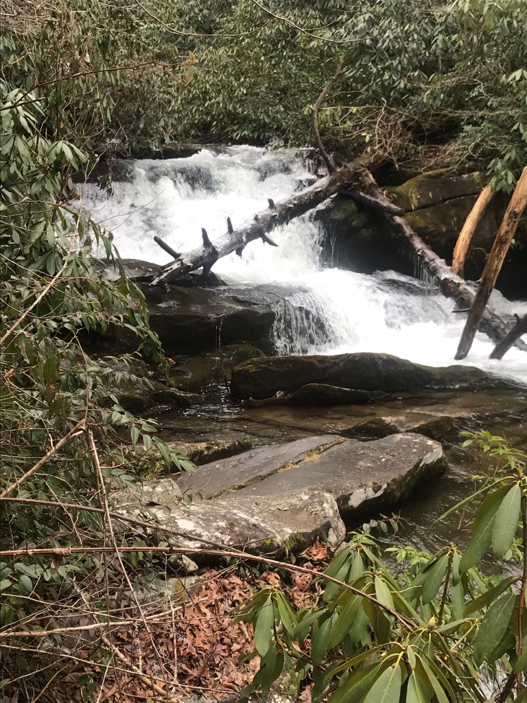
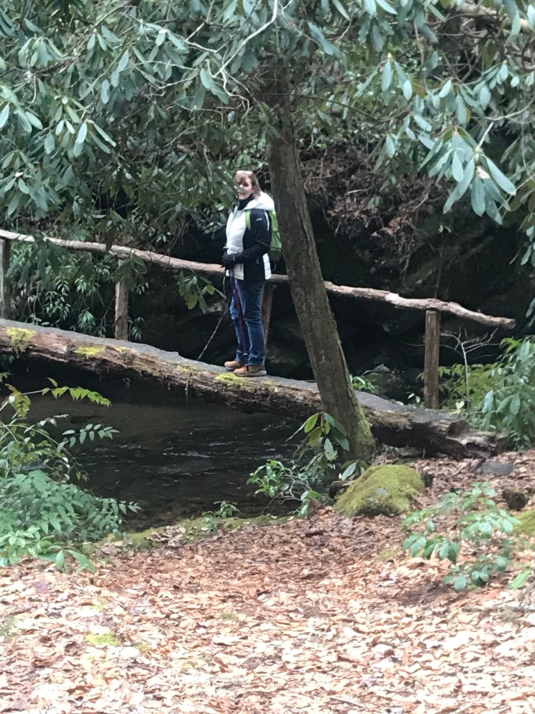
This was my first venture into the back country at Twenty Mile Ranger Station. This remote Ranger Station has no amenities. It is a house, empty during the off season, with some parking close to the house and more parking up near the gated trail head access area. There are several good trails accessible from here and I have them on my radar for future visits. There were only a handful of vehicles in the parking area and we slid into a spot and unloaded our gear for the hike. We began our hike on Wolf Ridge Trail and went about a half mile to the intersection with Twenty Mile Trail. The chill in the air was not unbearable as we hiked. At the trail intersection we made a right onto the Twenty Mile Trail, which follows the Twenty Mile Creek. The hike was perfect for what we were looking to do on this day. Just a little ways up the trail we went a little off trail to check out Twenty Mile Cascades. I took a short video and let the sound of the rushing water settle into my bones. I do not believe there is a more relaxing sound in all of nature.
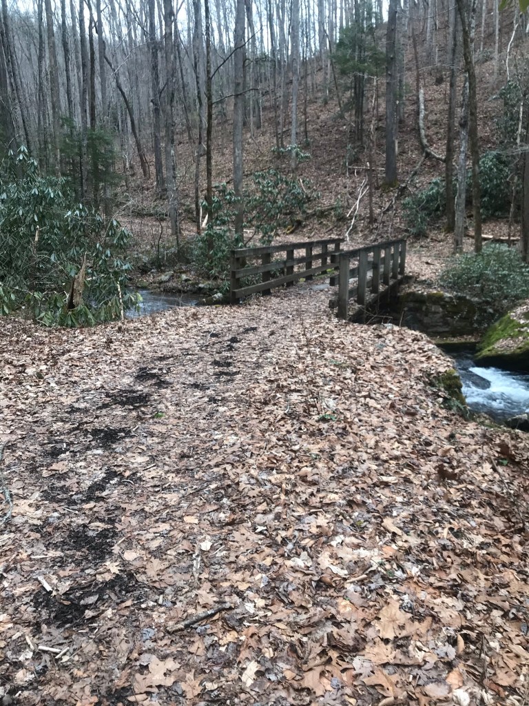
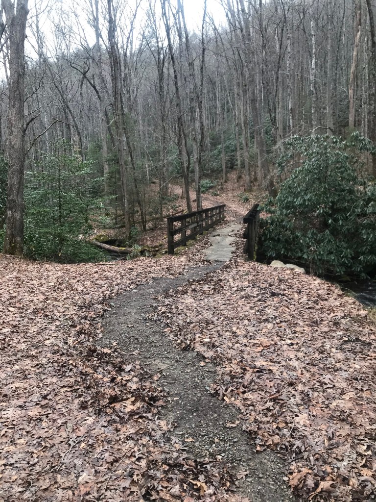
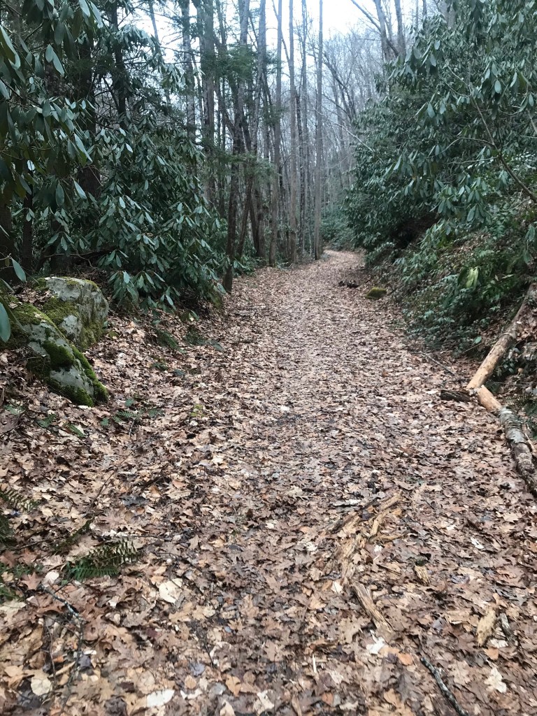
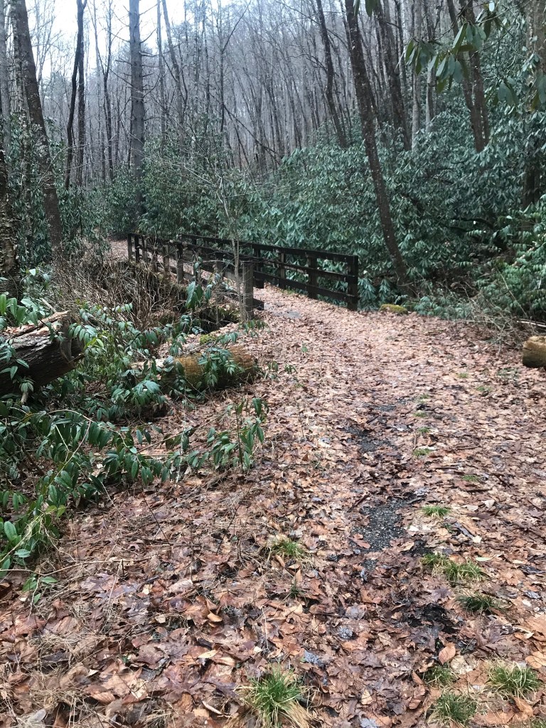
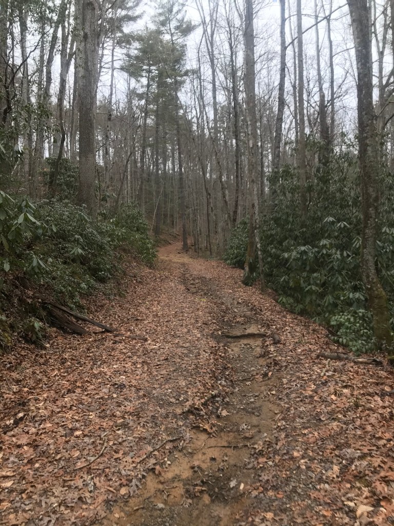
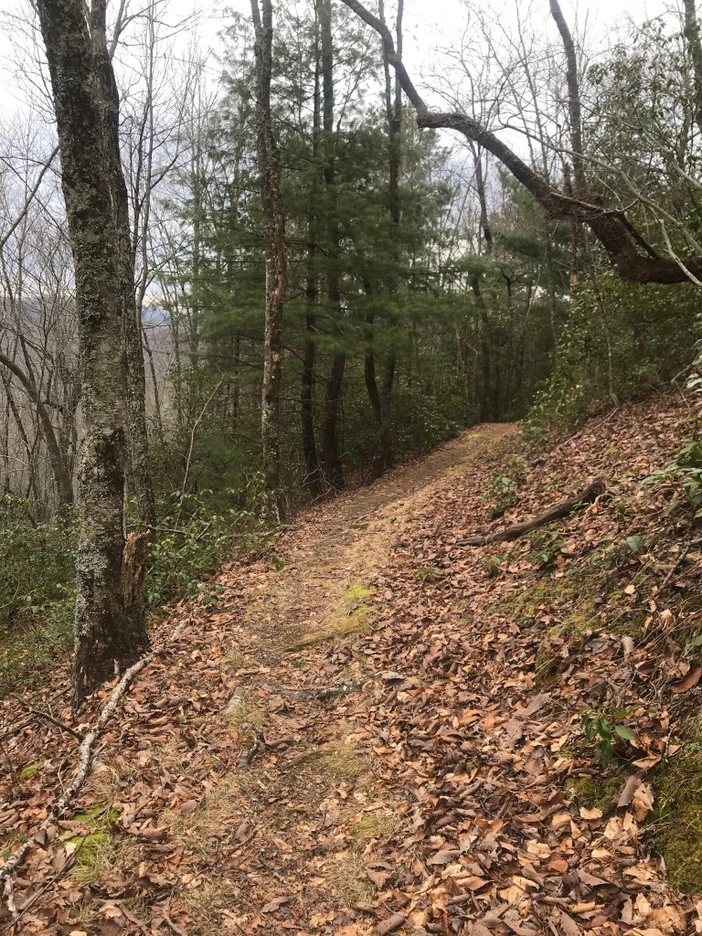
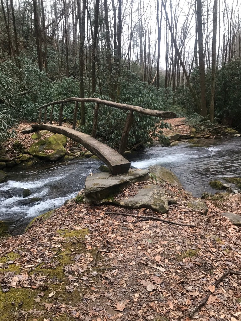
The incline had worked up some warmth in my muscles and bones so I took off my little puffer coat and stuffed it into my pack. The elevation gain to the next trail intersection is about 1000 feet over 2.6 miles. This is not what I would consider in any way strenuous. It is a good little walk up hill. Being an old road bed that was used for logging back in the days before it became the Park, the trail is wide with good footing. As it follows the Creek, the sound of flowing water highlighted this hike as did several bridges and log bridges over flowing water. Water crossings were mostly bridged, we only had to rock hop one on the Loop section of the Hike.
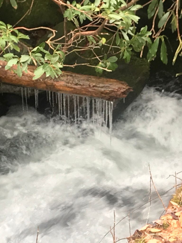
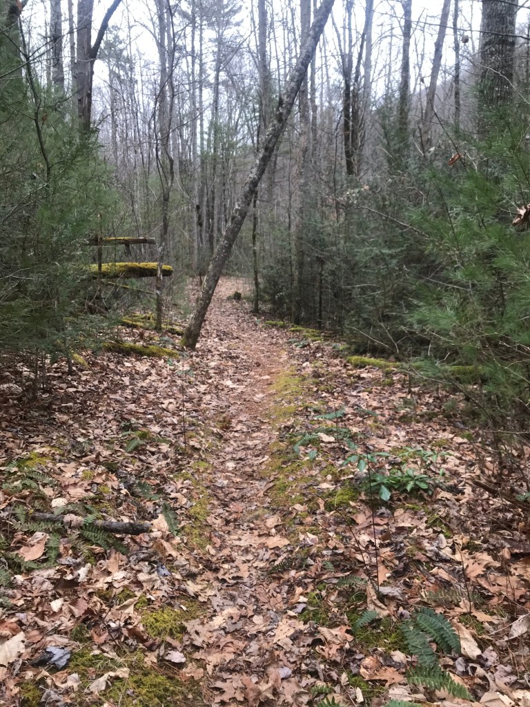
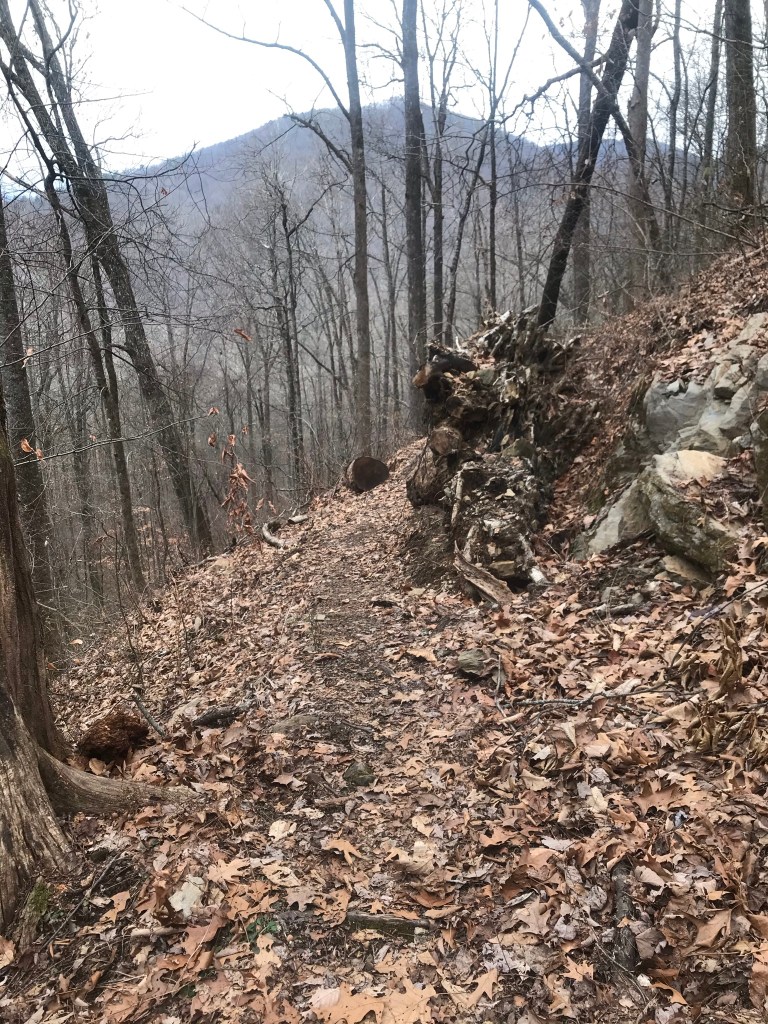
We stopped and checked out campsite 93, then hiked uphill to the trail intersection with the Twenty Mile Loop trail. We got several pictures of icicles along the water ways. The Twenty Mile Loop is a left turn off the Twenty Mile Trail and it is a 2.9 section of trail. This trail narrows into 1 lane, so to speak, more trail like than the road bed we left. The Twenty Mile Loop Trail hooks to Wolf Ridge Trail. I could see this trail being a little weedy and overgrown with brush and briars in places in the summer and fall. The lack of a canopy allowed us to see the mountains rolling away in the distance. The trail was very nice with its creek crossings and log bridges as it wound its way through the forest. When we got back to Wolf Ridge trail and turned to head to the Jeep it started to sleet. The sound of the ice hitting the fallen leaves made clicking sounds. It wasn’t a heavy downfall, but enough to remind us we were a long way from home and there was a storm on the way, according to the meteorologists. We picked up our pace and hustled back to our ride.
This was a great little wintery hike. As we rolled towards Fontana, intending to check out the Dam, the sleet continued to fall and we became a bit concerned. Snow I can drive in, Ice I have trouble stopping on sometimes. These mountain roads are no place to go sliding along. We drove to Bryson City from Fontana and to Cherokee from Bryson City then over to Maggie Valley where we hit I-40 for the trip home. It was uneventful.
The life we have been given is ours to live as we see fit. The things we consider important are as individual as we are. For myself, the opportunity to go places and see things is why I work. Sharing my adventures inspires me to have more adventures.
